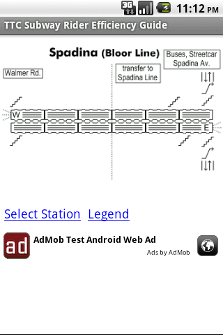
TTC Subway Rider Efficiency Guide - This application has maps of all TTC (Toronto Transit Commission) subway stations so you can see where the stairs/etc are... and plan where to stand on the platform.
Based on ttcrider.ca
Useful for handicapped people too.
What's New in This Release:
· Now includes tips
· App is smaller (because using smaller ad library)
What's New in 1.4.3:
· Tweaks
Like it? Share with your friends!
Supported operating systems:
Google Android 1.5, Google Android 1.6, Google Android 10.x, Google Android 2.0, Google Android 2.1, Google Android 2.2, Google Android 2.3, Google Android 3.0, Google Android 3.1, Google Android 3.2, Google Android 4.0, Google Android 4.1, Google Android 4.2, Google Android 4.3, Google Android 4.4, Google Android 5.x, Google Android 6.x, Google Android 7.x, Google Android 8.x, Google Android 9.x
Similar Software:
MapDroyd MapDroyd - Of course, today there are many Android application featuring street maps. Most of them are based on Google Maps, which means you've to enable your mobile device's network connection through a GPRS or Wifi connection
MapsWithMe Pro for Android MapsWithMe Pro for Android - MapsWithMe allows you to access maps of all the countries in the world while on the go. The maps are based on OpenStreetMap data and work completely offline, without requiring an internet connection
Las Vegas DK Eyewitness Top 10 Travel Guide & Map (BlackBerry) Las Vegas DK Eyewitness Top 10 Travel Guide & Map(BlackBerry)- Save time, discover the 10 best of everything to see, buy, taste AND avoid in the Sin City Las Vegas. Plus easily make your way through the city with the included maps
Vespucci OpenStreetMap Editor Vespucci is the first editor for OpenStreetMap on Android. You can download the map data for a specific area and edit the map. After editing, you can send it directly to the OSM Server.
What's New in This Release:
New features:
· OpenStreetBugs support(disabled by default)
· layers incl
LocationFinder LocationFinder is a LBS application. Through this application you can search any location in map. Click anywhere in map and you find the area, nearest city and country. Apart from this, user can edit any location for search and can see the location in map
amAze (LG) AmAze is a first of its kind free navigation and local search service. It is free to download and use and it contains wide coverage of maps including aerial photo in Europe, North America, Australia and parts of Asia and Africa
BreadCrumbz Because a picture is worth a thousand nav directions With BreadCrumbz, you can navigate using pictures and a map. Picture routes can take you off-road or inside buildings. Create your own picture routes and share them with your friends and the world. 1
Waze Waze is a free, 100% user-generated, social navigation application that allows drivers to build and use live maps & real-time traffic updates to improve their daily commute
HashPost - Free HashPost - Free - A special purpose Twitter application. Its sole purpose in life is to make it easy for you to include #lots of #hashes in your Tweets. Ideal for Live Tweeting an event.
Profile Hashes:
· Enter them once and they are always included
Dividend Predictor - Free Dividend Predictor - For the dividend investor.
Enter the symbols of stocks you own, the application looks up the details online and shows what future dividends you'll get.
Do you have a mix of regular stocks that pay quarterly and ETFs that pay monthly? -- no problem.
Or for "what if", enter stocks you might want to buy and see how they pay
Hockey Team Hockey Team - For the coach or captain of a recreational hockey team.
Given the number of players who showed up in the dressing room... how many forwards and how many defense is that?!
Also suggests how you might divide up your forwards.
Language is gender-neutral so you can use it for girls/women teams too.
Please note: this application is *not* a game
XBMC Server - Free Let your friends select the music that plays on your mobile phone!
Wi-Fi Map Maker - Free Wi-Fi Map Maker is application makes a map of Wi-Fi access points as you walk around.
· Maps out the actual coverage of each access point!
· Access point names are displayed on the map
· See street address and area of access points
· You can select the criteria for inclusion on your map


")

")


