Mango Maps contain a function that can help you to strore the map data you watched.So it can help you to save money.
Like it? Share with your friends!
If you got an error while installing Themes, Software or Games, please, read FAQ.
Supported operating systems:
Windows 10 Mobile, Windows Phone 7, Windows Phone 8
Similar Software:
GMaps GMaps - Free Google Maps for Windows Phone 7
Now available the following features:
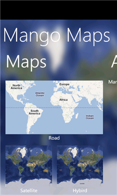
1. Map navigation with different layers support
2. GPS tracking
3. "What is here"
4. Search for location
We appreciated your feedback
SketchMaps Free! SketchMaps Free! - SketchMaps is the very first drawable live map which can also be saved to pictures. It's an unique idea and it's first of its kind. It's that simple. Please, view screenshots!
SketchMaps Free is full-featured, but will show ads. You can buy the full version of SketchMaps at any time to remove the ads
GeoBC Showcase GeoBC Showcase - This app takes advantage of geospatial layers provided by GeoBC. It will include Federal Electoral Districts and Local Health areas plus Primary Survey Parcels in British Columbia, Canada.
Select one of the layers from the list, then press a point on the map and hold to get information about that geographical point
Chicago Maps Chicago Maps - Offline (no data connection necessary!) public transportation maps for the Chicago area. Click on the thumbnails and zoom in for a detailed look.
Includes:
1. an overview of the Chicago Transit Authority system with the ability to zoom into different sections using a map and/or a list
2. Night Owl bus map
Can be used in portrait or landscape view
Puget Sound Traffic Puget Sound Traffic is a simple and quick way to view traffic conditions in the Puget Sound area.
Maps are fetched from the Washington State Department of Transportation as well as other sites for Seattle, Bellevue, Tacoma, Olympia, Bellingham and the US/Canada border. Recent incidents from the WSDOT area also displayed.
Maps are not interactive
AGMapTime AGMapTime is a simple viewer with time slider features for "time-aware" layer data of ArcGIS services. Time slider lets you browse map features on specific time. You can view various kind of map layers from ArcGIS.com or your own ArcGIS server.
version 0.5 (First version)
- Only supports dynamic layer.
- Fixed base map.
- Slider auto detect time duration
Googlemaps Googlemaps - Enjoy Almost all features of Google Maps on your WindowsPhone7
Enjoy The Water-overlay mode, Physical mode, Hybrid mode, Satellite View, Street-View.
You can zoom in and zoom out without any Hindrance
Bing Get Me There Bing Get Me There - Bing Get Me There is a London travel app that gets you from where you are right now to wherever you want to be. True door-to-door directions using Bing maps and live tube updates to ensure you get the best route for you
WorldMaps Developed by Salman Shakeel
This application provides you total solution to navigation it is combinations of multiple maps at one place
Find My Car Find My Car Have you every parked your car and then went about your day, only to realize at the end of the day that you don't recall where you parked it? Then "Find My Car" is for you.
What's New in This Release:
· Updated to support copy and paste functionality and update Bing maps
Other Software by developer «CloudFan»:
MultiTouch Test Pro MultiTouch Test Pro - A Professional MultiTouch Test Tool which can help you to know your performance of touchScreen directly and each point will be marked with number