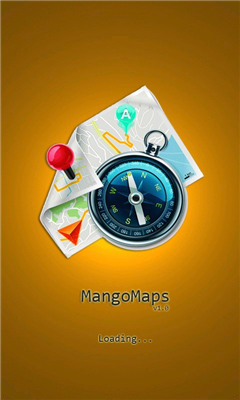
Mango Maps contain a function that can help you to strore the map data you watched.So it can help you to save money.
Like it? Share with your friends!
If you got an error while installing Themes, Software or Games, please, read FAQ.
Supported operating systems:
Windows 10 Mobile, Windows Phone 7, Windows Phone 8
Similar Software:
Maps+ Maps+ - Maps Plus (Maps+) is an easy to use, powerful way to find directions, points of interest, locations, and anything else you're looking for
MapStalt Mini MapStalt Mini is an application that is meant to bring the map to completeness. In the case of the open street map, many details are missing, and MapStalt puts to power to complete the map into the hands of the mobile user. With MapStalt, a user can add something as simple as a building address and latitude/longitude or complex details such as business hours of operation
Googlemaps Googlemaps - Enjoy Almost all features of Google Maps on your WindowsPhone7
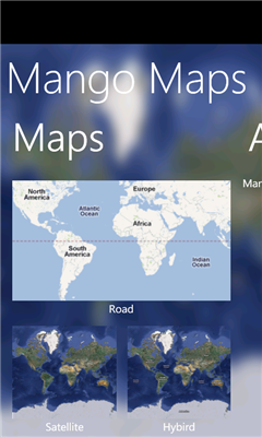
Enjoy The Water-overlay mode, Physical mode, Hybrid mode, Satellite View, Street-View.
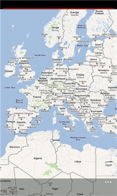
You can zoom in and zoom out without any Hindrance
Washington SR 520 Toll & Traffic Washington SR 520 Toll & Traffic - Electronic tolling on SR 520 will begin this spring. Be ready by checking how much it will cost you to cross SR 520. Application takes in account US Holidays and provides additional information, such as current crossing time for both directions, and traffic map of the bridges
Mymaps Mymaps - This is an extra odinary app which collaborates bing maps with gmaps or google maps...just browse on bing with the experience of google maps.
This application is a cross between gmaps and bing maps...
lets call it gingmaps :-p
Cheers and please do review
AGMapTime AGMapTime is a simple viewer with time slider features for "time-aware" layer data of ArcGIS services. Time slider lets you browse map features on specific time. You can view various kind of map layers from ArcGIS.com or your own ArcGIS server.
version 0.5 (First version)
- Only supports dynamic layer.
- Fixed base map.
- Slider auto detect time duration
Puget Sound Traffic Puget Sound Traffic is a simple and quick way to view traffic conditions in the Puget Sound area.
Maps are fetched from the Washington State Department of Transportation as well as other sites for Seattle, Bellevue, Tacoma, Olympia, Bellingham and the US/Canada border. Recent incidents from the WSDOT area also displayed.
Maps are not interactive
Prague Maps Prague Maps - This app contains offline (no data plan/reception necessary) public transportation maps for the Prague area, including tourist maps, metro/tram maps, and the Airport Express, which takes you from Prague Airport to popular the main train station, Hlavni Nadrazi
ArcGIS ArcGIS is a great way to discover and use maps. Tap on the map or use your current location to discover information about what you see. Search and find interesting information in the map as well as measure distances and areas. Find community hosted maps from ArcGIS Online, ESRI's online GIS, or use the authoring tools on ArcGIS
Map_launcher Map_launcher - WP7 has a several built in launchers, but the map app does not have one. It's unfortunate because I think it's fairly common that you'd want to have a link to get directions in a mobile app since you are, you know, mobile
Other Software by developer «CloudFan»:
MultiTouch Test Pro MultiTouch Test Pro - A Professional MultiTouch Test Tool which can help you to know your performance of touchScreen directly and each point will be marked with number