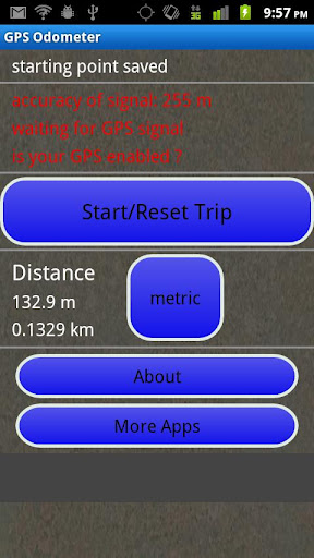
GPS Odometer - A simple and easy to use odometer. There is no maze of menus and no mysterious settings. GPS Odometer only does one thing, and does it well: measure distance traveled.
Note: Intended to measure relatively short distances, the application does not run in the background.
Like it? Share with your friends!
Supported operating systems:
Google Android 1.6, Google Android 10.x, Google Android 2.0, Google Android 2.1, Google Android 2.2, Google Android 2.3, Google Android 3.0, Google Android 3.1, Google Android 3.2, Google Android 4.0, Google Android 4.1, Google Android 4.2, Google Android 4.3, Google Android 4.4, Google Android 5.x, Google Android 6.x, Google Android 7.x, Google Android 8.x, Google Android 9.x
Similar Software:
GPS Coordinates Converter GPS Coordinates Converter - With this app you can convert GPS coordinates from "degrees, minutes, decimal seconds" to "decimal degrees".
What's New in This Release:
· Locate your phone and show the coordinates
What's New in 2
GeoPix GeoPix - Headed to work or class? Want your school's mascot or company logo to show up as your wallpaper, "abracadabra" style, just as you arrive? Simply choose an image from Myxer’s massive catalog of wallpapers, or grab one from your phone, set the address- and watch it "auto-magically" appear as you reach your destination
Location Barcoder Location Barcoder is a tool for creating geocoded barcodes based on your location. Barcodes are stored on the SDCard in a folder named LocationBarcodes
GPS Logger GPS Logger is an Android application that reads data from the GPS receiver and saves it as a gpx file
Yandex navigator Yandex navigator - is a useful application which will easily make the best route for you by means of GPS, taking into consideration traffic jams and other road situations. Voiced hints are available which will inform you on accidents or roads under repair. The application will offer several routes. During the dark part of a day night mode is available
Back Country Navigator Back Country Navigator - is a handy navigator which will help you find way in any location. The application has embedded storage so you can download the needed data and use maps without Internet connection. All you need to do is to activate a satellite navigation to see your location
OS Map OS Map is a tool to turn your Android phone into a handy Ordnance Survey map, with your GPS position pinpointed on it!
· Nearly all OS Map scales available (including 250,000 and 50,000).
· Touch-scrolling - simply use your finger to drag the map around.
· Fast resume from standby and fast position updates
RMaps RMaps is a navigation tool. You can use RMaps as an online map viewer for some popular maps. And as an offline map viewer for your own maps created on the PC.
· Auto rotate map in driving direction.
· Auto rotate map in the northern direction.
· Compass on the map.
· Auto-follow function.
· Online search.
· Full screen mode
LocationFinder LocationFinder is a LBS application. Through this application you can search any location in map. Click anywhere in map and you find the area, nearest city and country. Apart from this, user can edit any location for search and can see the location in map
SOS App SOS App - This app sends a text message with your GPS position (address from google maps, latitude, longitude and accuracy).The use is simple. You have to choose a contact (with the search button) and then touch the picture
Other Software by developer «TappiApps»:
My GPS Coordinates and Location My GPS Coordinates and Location - A simple application with crude, but adequate, support for 40 languages. Allows you to share your position via email, text message, twitter, etc, and displays your current GPS location in both decimal format and in sexagesimal (degrees minutes seconds) format. Internet access is not required to send your location with a text message
GPS Tape Measure GPS Tape Measure - GPS Tape Measure is a virtual tape measure for your Android device. Perfect for when you want to easily find the distance between two points on earth and you forgot to bring your laser rangefinder. Simple and easy to use
Name That Plane Name That Plane - Test your knowledge of aircraft. The app features over 300 aircraft images. Compete with your friends and the world via a global score board provided by Scoreloop.
How score is calculated:
score = (percentage_correct * 10) / sqrt(sqrt(time_in_seconds))
Note that only thinking time is considered