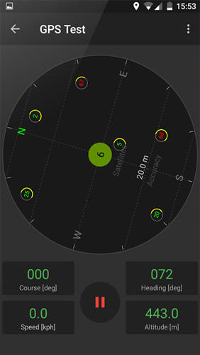
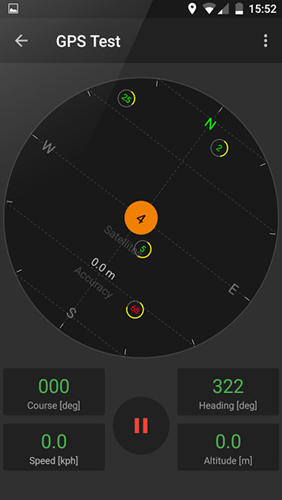
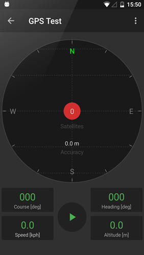
GPS Tools - is an application for calibration of a satellite module of your smartphone. The utility uses a magnetic compass, makes changes to the route, speed and accuracy of the displayed data. As soon as the calibration is completed you can track your location with maximum accuracy.
Game features:
Magnetic compass
Commercial free
Fast calibration
Big number of satellites
Like it? Share with your friends!
Supported operating systems:
Google Android 10.x, Google Android 4.4, Google Android 5.x, Google Android 6.x, Google Android 7.x, Google Android 8.x, Google Android 9.x
Similar Software:
GPS Signal Widget GPS Signal Widget - Do you get tired waiting for the GPS location to be available? With this tool you can check out the GPS satellites and the signal strength in just a nice 1X1 widget.
The spokes in the widget represents the satellites and the length of the spokes is a measure of the signal strength.
Enable or disable the widget by tapping on the widget
Satski Lite Satski Lite - The #1 ski/snowboard app. Real time ski navigation on 3D trail/piste maps. Imagine seeing your live GPS position, tracking & stats (speed, dist, alt). Use buddy tracking, get resort info, live weather, SOS
PlaceMemo Lite PlaceMemo Lite - One click to mark your favorite place like:
- parking lot to find your car
- restaurants
- theaters
- public park
...
One click to view locations in Google Map & get direction to it by GPS.
Email place(s), Weather of recorded place(s)..
WAY - Where are you? WAY - Where are you? - Share you location and find your friends easily.
Wanna find your friends?
Wanna share your location with friends?
Congratulations: YOU FOUND THE APPLICATION WHICH ALLOWS YOU THAT AND EVEN MORE.
"WAY - Where are you?" allows you to find your friends' locations in real time and/or send them free messages
TwoNav for Android TwoNav for Android - A dual navigation system (On-Road/Off-Road) to perform most of your outdoor activities (hiking, biking, skiing, geocaching, ...). TwoNav can also guide you when driving. A single solution for all your orientation needs
MapMyHike+ for Android MapMyHike+ for Android - MapMyHike is a mobile assistant designed to allow hikers to track their activities using their phone's built-in GPS.
With the app you can view your route on a map and record your trip details, including duration, distance, pace, speed and elevation.
You can also share the details of your activity with friends via Facebook, Twitter or email
OSMTracker for Android OSMTracker stands for OpenStreetMap Tracker. It allows you to track your journey and mark significant way points. Way points can be marked with a tag using a button, with a quick voice record, a text note or by taking a picture. The various button pages and layouts can be customized to suit your OpenStreetMap activities
NAVIGON Europe for Android NAVIGON Europe for Android - NAVIGON turns your mobile device into a fully featured GPS navigation system. The software provides advanced functionality for both drivers and pedestrians, including 2D and 3D maps, route planner, speed assistant, voice directions, local search, and more
Whereis Navigator Whereis Navigator turns your Telstra Android device into an easy to use & full-featured GPS navigation unit, powered by Garmin and available for use in Australia only