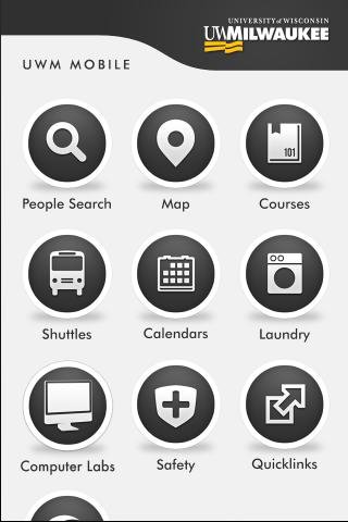
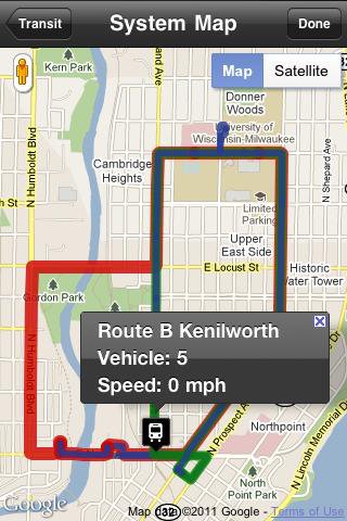
UWM Mobile is UWM's official iPhone and Android app. We built it from the ground-up to make your life on campus better. Get access to maps, directories, bus routes and more.
** If you run into problems, please email:
uwm-mobile@uwm.edu
**
(Emailing us allows developers to get accurate and complete information in order to address the problem.)
Like it? Share with your friends!
Supported operating systems:
Google Android 1.5, Google Android 1.6, Google Android 2.0, Google Android 2.1, Google Android 2.2, Google Android 2.3, Google Android 3.0, Google Android 3.1
Similar Software:
Map Navigation Map Navigation - detailed maps of cities and countries. Use this application in any place of the world without Internet connection. All data is updated all the time and boots in no time. You can make marks on the maps and send them via e-mail
CoPilot Live UK + Ireland (Android) CoPilot Live UK + Ireland (Android) - CoPilot Live is full-featured voice-guided GPS navigation with street maps of 1 European region stored on your Android phone. Includes 3D guidance, lane assist, speed limit warnings, safety camera alerts, planning mode.
Download maps via WiFi after purchase. Unlimited use after 10 days once Google order verified
Yandex. Metro Yandex. Metro - is a useful application for those who often goes by subway. The application will make exact calculation of time, offer the best route and give the switch points. Select the destination and departure stations according to the scheme and easily plan your subway trips
Wi-Fi Map Maker - Free Wi-Fi Map Maker is application makes a map of Wi-Fi access points as you walk around.
· Maps out the actual coverage of each access point!
· Access point names are displayed on the map
· See street address and area of access points
· You can select the criteria for inclusion on your map
InstaMapper (Android) InstaMapper is a free service that allows you to track a person or vehicle online in real time using a GPS-enabled mobile phone.
To use InstaMapper, you create a free account. Registration takes only a minute or two. All it is asked for is a username, password, and a valid email address.
Next, you install a small application on your GPS-enabled phone
Maps In My Pocket (MIMP) Maps In My Pocket - The main goal of this application is to allow its users to view maps, locate themselves, follow KML or GPX formatted tracks and getting directions from place to place.
What's New in This Release:
· New Icon
What's New in 1.4.3:
· Long press and long pinch concurrency on info bubble solved
Street View on Google Maps Street View on Google Maps - New! Street View smart navigation -- move around by dragging "Pegman" where you want to go. Try Street View on Google Maps to view street-level imagery from your phone. To use Street View, open Google Maps, search for a place or long-press the map, and tap the Street View option
amAze (Motorola) AmAze is a first of its kind free navigation and local search service. It is free to download and use and it contains wide coverage of maps including aerial photo in Europe, North America, Australia and parts of Asia and Africa
Maps - Firefox Addon Maps - Firefox Addon - This Firefox add-on adds a new type of search engine to your list of search engines, which can give you fast access to locate various addresses, streets, or places in Lithuania. And if you i.e
HERE WeGo - Offline maps & GPS HERE WeGo - will always help you find the needed way in the city. The application will offer the best routes for any mode of transport or for going on foot. This utility will take you to the destination point with the help of voice messages and will inform you about extra ways in case of change on the road
Other Software by developer «University of Wisconsin-Milwaukee»:
not found
Comments on UWM Mobile:
Comments not found
If you noted an error or download link is broken, please, report it via this page or use comments.
Please, select device to check if UWM Mobile supports it


")


")
")

")

