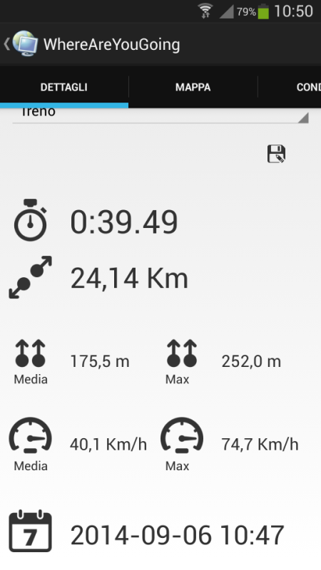
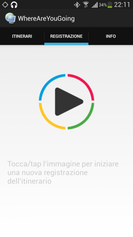
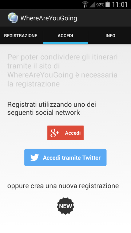
wayg - Create your trip, record your route, share your position. WhereAreYouGoing is able to record position, speed, altitude and time of your routes on your device. WhereAreYouGoing allow to share your route on the most important social network (Google+, Twitter, Facebook...), create file Kml for Google Maps or file GPX (OpenStreetMap). You have just to sign up on this web site: http://goo.gl/3eKJlw . This Gps Tracker allows create the waypoints during the record of the route and view the progress of the speed and height in the graphs. If you have any internet connection you can show in real time your position on Google maps or OpenStreetMap and share with somebody you want. WhereAreYouGoing use GPS satellites on your device to record the routes.
Like it? Share with your friends!
Supported operating systems:
Google Android 3.0, Google Android 3.1, Google Android 3.2, Google Android 4.0, Google Android 4.1, Google Android 4.2, Google Android 4.3, Google Android 4.4
Similar Software:
My place My place This application allows you to determine your current location and to share it with your friends by sms or e-mail, if you want or need this.
Also it is possible to share your location with other apps, which are already installed on your phone (Google maps, Twitter apps, notes, etc.)
Strava running and cycling GPS Strava - this application is for people who like running, cycling or just spend time outside
Whereis Navigator Whereis Navigator turns your Telstra Android device into an easy to use & full-featured GPS navigation unit, powered by Garmin and available for use in Australia only
Location Finder Place Search Location Finder Place Search - This Free place finder application automatically detect your current location and shows best places around you. This app will show you all available ATM, Bus Stands, Service centers, Airport, Food Services etc. around the current location. Download this free app on your smartphone and just simplified your place search
NAVIGON USA for Android NAVIGON USA for Android - NAVIGON turns your mobile device into a fully featured GPS navigation system. The software provides advanced functionality for both drivers and pedestrians, including 2D and 3D maps, route planner, speed assistant, voice directions, local search, and more.
NAVIGON uses offline maps, so you don't need to worry about data traffic or roaming charges
Gps Toggle Widget Gps Toggle Widget - Gps Toggle Widget is a simple home screen widget that toggles Gps on/off very easily.
Widget Feature:
- Simple Gps- toggle widget (1x1).
- Select color as you wish. Color changes with state changes on the phone - when enabling or disabling
GPS Info GPS Info - GPS Info **PRO VERSION AVAILABLE (NO ADS) is an simple to use and functional gps application. for beginner and advanced users. All needed gps data is bundled in one screen with perfectly designed layout.with usability in mind
Where's My Location? Where’s My Location? gives an edge in finding the most wonderful places surrounding you with a beautiful user interface. In details, such an application will provide you with all the available places near you with detailed information.
Also Where’s My Location? acts as a great navigation tool by which you can find your way in a strange city or location
Speedometer GPS Speedometer GPS - Speedometer GPS can track your speed,distance,time,location and also can get start time,time elapased,avg speed,max speed,altitude...
Features included
- Save your track info,Record gpx file(it will be saved in "sdcard/SpeedometerGPS/gpx/")..
- Switch between car speedometer and bike cyclometer.
- Switch between mph or km/h mode
Mobile Spy Track EVERY move your child or employee makes using our POWERFUL cell phone monitoring technology to expose the TRUTH!Mobile Spy is a hybrid software/service which allows you to monitor our child or employee's smartphone in real time
Comments on wayg:
Comments not found
If you noted an error or download link is broken, please, report it via this page or use comments.
Please, select device to check if wayg supports it