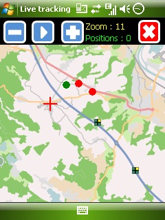
Mobbyway - Based on both internet mobile technologies and GPS, Mobbyway allows you to know easily, at any time, your relatives’ exact position on a map if they have accepted it and if they are connected to the network.
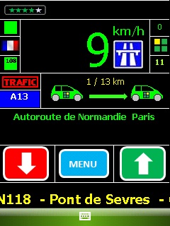
Mobbyway is also a help on the road network with a local alert system of a dangerous zone which is carried out with the network of members. Finally, Mobbyway will reference all the fixed radars in the countries where it is used and Mobbyway will indicate them to you.
Mobbyway was developed to allow:
- you to stay connected with your relatives wherever they are.
- your relatives to follow you visually and in real time.
- you to go back at any time to a place where you have already been on a specific date.
- you to travel safely on the road network thanks to the network members: The Mobbynautes.
- you to have a part in the world cartography OpenStreet Map
Like it? Share with your friends!
If you got an error while installing Themes, Software or Games, please, read FAQ.
Supported operating systems:
Windows Mobile 6 Classic, Windows Mobile 6 Professional, Windows Mobile 6.1 Classic, Windows Mobile 6.1 Professional, Windows Mobile 6.5 Professional
FON Access Points for Argentina FON Access Points for Argentina - FON offers you a new Points of Interest service (POIs). This allows you to download FONspots directly to your navigation device.
What does that mean? You can download a Points of Interest file directly to your navigation device
FON Access Points for Bulgaria FON Access Points for Bulgaria - FON offers you a new Points of Interest service (POIs). This allows you to download FONspots directly to your navigation device.
What does that mean? You can download a Points of Interest file directly to your navigation device
amAze (Samsung) AmAze is a first of its kind free navigation and local search service. It is free to download and use and it contains wide coverage of maps including aerial photo in Europe, North America, Australia and parts of Asia and Africa
FON Access Points for Greece FON Access Points for Greece - FON offers you a new Points of Interest service (POIs). This allows you to download FONspots directly to your navigation device.
What does that mean? You can download a Points of Interest file directly to your navigation device
GPS Tuner Essentials Full Version with Italy and Malta Basic Map Content GPS Tuner Essentials Full Version with Italy and Malta Basic Map Content is designed specifically for off-road use: its large buttons, selectable tool window size, multiple Compass views and the built-in Tele Atlas map makes it extremely user-friendly and reliable
WorldMate Live for PPC Free subscription Turn your smartphone into a smart travel companion.
It seems travel is only getting more stressful and difficult. WorldMate exists for only one reason ? to make your on-the-go lifestyle easier
FON Access Points for India FON Access Points for India - FON offers you a new Points of Interest service (POIs). This allows you to download FONspots directly to your navigation device.
What does that mean? You can download a Points of Interest file directly to your navigation device
GPS Creations GPS Creations - Deploy practical GPS applications with GPS Pocket PC Creations. No need to be confined by limited menus with standard GPS software. Many applications in mining, agriculture, environment, transport, military, education and recreation
TravelCompasses TravelCompasses - TravelCompasses uses the GPS on your PocketPC to find a "Home" position. Then the program displays a compass that rotates to your current GPS. The program also displays your current compass degrees.
This program requires that you have both the 'BeanDLL.dll' file ** and ** the runtime files for Visual Basic on your PocketPC computer
Other Software by developer «Mobbyway»:
Mobbyway Mobbyway based on both internet mobile technologies and GPS, Mobbyway allows you to know easily, at any time, your relatives’ exact position on a map if they have accepted it and if they are connected to the network.Mobbyway is also a help on the road network with a local alert system of a dangerous zone which is carried out with the network of members


")
")


")


