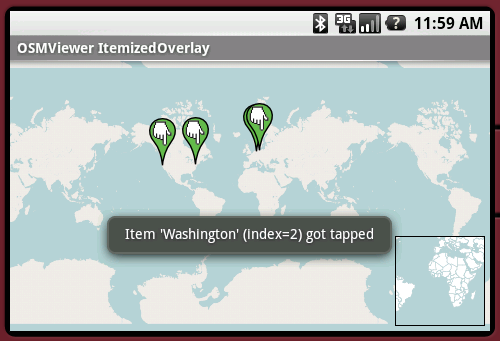
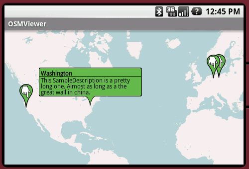
OpenStreetMapViewer provides Tools / Views to interact with OpenStreetMap-Data.
The OpenStreetMapViewer is a (almost) full/free replacement for Android's MapView class.
Like it? Share with your friends!
Supported operating systems:
Google Android 1.0, Google Android 1.5, Google Android 1.6, Google Android 10.x, Google Android 2.0, Google Android 2.1, Google Android 2.2, Google Android 2.3, Google Android 3.0, Google Android 3.1, Google Android 3.2, Google Android 4.0, Google Android 4.1, Google Android 4.2, Google Android 4.3, Google Android 4.4, Google Android 5.x, Google Android 6.x, Google Android 7.x, Google Android 8.x, Google Android 9.x
Similar Software:
Sensorly Map Viewer Sensorly Map Viewer - How good is your cell/mobile network coverage where you need it?
Is your favorite WiFi network going to be available at your vacation spot?
See the answer with this application and join us to build worldwide coverage maps.
(Data collection is configurable and can be turned off
Google Maps (Android) Google Maps - Now you can get business locations, maps and directions while you're on the go. And it's all free.
· Navigation: Free, voice-guided GPS navigation system using GPS with Google Maps
· Places: Find nearby places and see hours, reviews, etc
ViewRanger GPS ViewRanger is a unique mapping, navigation, tracking, and information tool for mobile phones that provides fully featured outdoor gps and trail navigation through a natural and intuitive display. ViewRanger transforms a Nokia or other Symbian S60 smartphone into a fully featured trail navigation system
Foursquare Foursquare - helps you explore the world around you. Keep up with friends, get insider tips, and unlock discounts and rewards.
While on the go, you can easily tell friends where you are, share pictures, get their comments ("I'm right around the corner, I'll stop by to say hello"), and get insider tips ("order the Lobster Ravioli; it's the best dish by far
Big Planet TW Solution to Offline Google Maps on Android Phones
LocationFinder LocationFinder is a LBS application. Through this application you can search any location in map. Click anywhere in map and you find the area, nearest city and country. Apart from this, user can edit any location for search and can see the location in map
NAVIGON MobileNavigator NAVIGON MobileNavigator - Turn your Android phone into a mobile navigation device with lots of useful functions that will delight you! The pocket navigation device will show you the right way with functions such as Reality View Pro and Lane Assistant Pro
Google (Android) Download the official Google app to your phone, and get easy access to Search, Maps, Mail, and more. Never say "I don't know" again
AugSatNav Walk AugSatNav is an augmented reality navigation system which overlays walking directions upon a live video feed of the path or road ahead.
With AugSatNav there is no need to follow instructions or interpret maps - you can simply find your way by walking along the route highlighted by a bright white line
Other Software by developer «Nicolas Gramlich»:
AndTip AndTip is a Tip-Calculator for Android phones
AndWeather AndWeather provides a 4 day weather forecast for any location in the world
AndSudoku (Android) AndSudoku is a Sudoku clone for Android-powered phones. The goal is to fill all fields with numbers from 1 to 9 in an order that every row and every column contains each of the numbers only once. Also every 3x3 SubBox may contain every number just once
AndEngine - Examples AndEngine - Examples - AndEngine is a free Open Source 2D OpenGL Game Engine for the Android platform.
This application contains various Examples that showcase what developers can do with this engine.
Install this to stay tuned with the progress.
Join the AndEngine-Community at:
http://www.andengine
AndPizza AndPizza is an Pizza/Egg-Timer for Android phones


")


")


")

