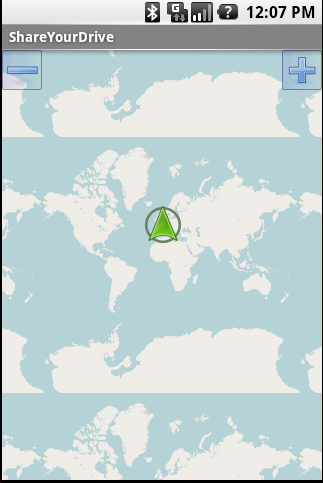
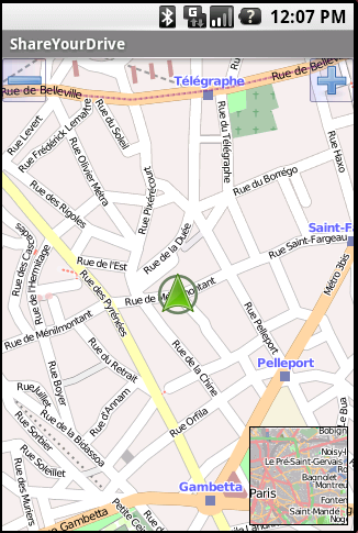
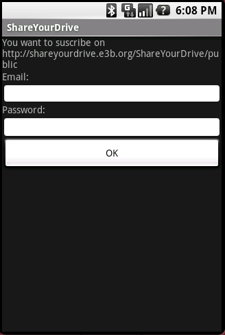
ShareYourDrive Transportation and cars especially are contaminating. Imagine with a few clicks, you can know who can give you a ride. The time real geolocalisation to save environment. Don't be afraid about security. Historic helps to know who was with you, when and where. Moreover you can give a rate to the persons you meet. This note is shown at the time you choose the person you want to ride with
Like it? Share with your friends!
Supported operating systems:
Google Android 1.0, Google Android 1.5, Google Android 1.6, Google Android 10.x, Google Android 2.0, Google Android 2.1, Google Android 2.2, Google Android 2.3, Google Android 3.0, Google Android 3.1, Google Android 3.2, Google Android 4.0, Google Android 4.1, Google Android 4.2, Google Android 4.3, Google Android 4.4, Google Android 5.x, Google Android 6.x, Google Android 7.x, Google Android 8.x, Google Android 9.x
Similar Software:
Street View on Google Maps (Android) Street View on Google Maps (Android) - With Street View on Google Maps, explore the world at street level.
New! Street View smart navigation -- move around by dragging "Pegman" where you want to go.
Try Street View on Google Maps to view street-level imagery from your Android phone
BostonBusMap BostonBusMap is an application for Android phones. It uses GPS data provided by the MBTA to plot the real-time location of buses on a map.
What's New in This Release:
· GPS now turns on when you start the app to allow quicker location lookup times
Disaster Alert Disaster Alert (by PDC) - Current global disaster info on an interactive map Disaster Alert (by PDC), Active Hazards on an interactive map and in a list as they are occurring around the globe. Additional hazard information can be viewed and shared
Latitude Launcher Latitude isn't enabled in the UK, and some other countries, on the T-Mobile G1, however it is enabled on many other phones e.g. Nokia N95. This is frustrating, a Google phone without Google Latitude.
Latitude Launcher can enable Latitude for you if you have 'Rooted' your phone
OS Map OS Map is a tool to turn your Android phone into a handy Ordnance Survey map, with your GPS position pinpointed on it!
· Nearly all OS Map scales available (including 250,000 and 50,000).
· Touch-scrolling - simply use your finger to drag the map around.
· Fast resume from standby and fast position updates
Metro LX Metro LX is a comprehensive guide to the Lisbon Subway providing:
A map of Lisbon Metro (subway) in landscape and portrait modes;
A route planner between stations;
A map route to station from your position;
And detailed information per Station.
What's New in This Release:
· Updated tariff (February 2012);
· Minor bugs fixed on tablets
ViewRanger GPS ViewRanger is a unique mapping, navigation, tracking, and information tool for mobile phones that provides fully featured outdoor gps and trail navigation through a natural and intuitive display. ViewRanger transforms a Nokia or other Symbian S60 smartphone into a fully featured trail navigation system
Vespucci OpenStreetMap Editor Vespucci is the first editor for OpenStreetMap on Android. You can download the map data for a specific area and edit the map. After editing, you can send it directly to the OSM Server.
What's New in This Release:
New features:
· OpenStreetBugs support(disabled by default)
· layers incl
Other Software by developer «Fabien Carrion»:
not found
Comments on ShareYourDrive:
Comments not found
If you noted an error or download link is broken, please, report it via this page or use comments.
ShareYourDrive is compatible with your device Asus MeMO Pad HD 7 ME173X


")


