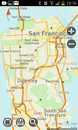
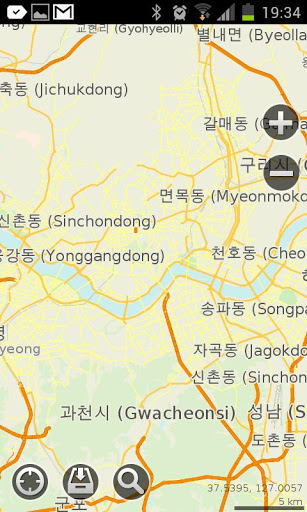
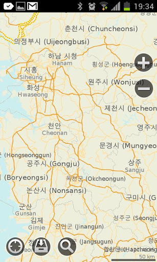
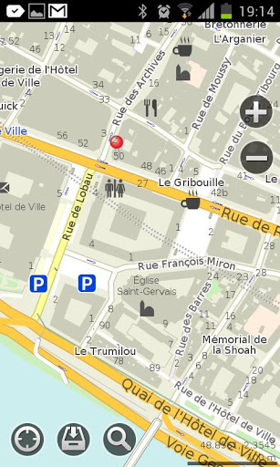
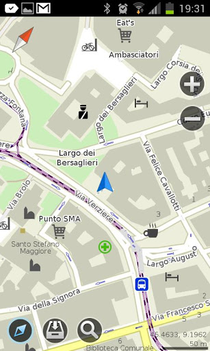
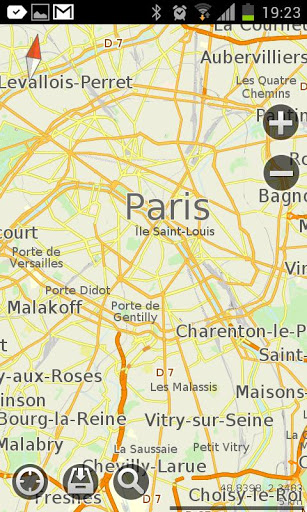
MapsWithMe Pro for Android - MapsWithMe allows you to access maps of all the countries in the world while on the go. The maps are based on OpenStreetMap data and work completely offline, without requiring an internet connection.
With MapsWithMe installed on your iOS device, you can find out your current location using GPS, search for points of interest, bookmark favorite spots, and more. MapsWithMe Pro for Android features:
· All countries, all cities covered
· High level of detail
· Offline search, auto-suggestion feature
· Thousands of POI
· Bookmarks
· GPS positioning and compass
· Map rotation and auto-follow mode
· Vector maps
· Innovative map data compression method
· English, Russian, Spanish, German, Czech, Dutch, Japanese, Korean supported
What's New in This Release:
· Fixed bug on Samsung Galaxy S4 GT-I9500
What's New in 2.5.0:
· Paths/lines/tracks import from KML. Finally you can display and use the lines from other apps in MapsWithMe. Import KML file to MapsWithMe and view the projected route on the map. Further improvements are coming soon.
· Map data updated
· Bug fixes
What's New in 2.4.6:
· Map updates notification. You do not need to check whether new map details are available or not any more. Now the app informs you which maps need to be updated
· Travel guides availability notification. To help you make your travel more enjoyable, we provide reliable country information. Once you've downloaded the map, free travel guide GuideWithMe app can be offered for your destination
· Android 4.3 support
· Map data updated
· Bug fixes
What's New in 2.4.4:
· New option is available: get and copy precise coordinates of any point on the map. Coordinates info is displayed on the POI information screen
· Fresh OpenStreetMap data
· Bug fixes
What's New in 2.3.5:
· We made maps faster!
· Added Poland and Ukraine translations: the option of searching by keywords in native language is enabled for you.
· Optimized for new devices' screens
· Changed UI color theme to white
· Fixed installation issue on some Android devices
What's New in 2.3.4:
· optimized the map brightness and contrast
· changed the map fonts
· fixed the bugs
What's New in 2.3.3:
· Meet a brand new feature - location sharing! It enables you to send a pin to any place on the map via e-mail or sms.
· Traditional Chinese, Korean, Japanese, Dutch, Ukrainian languages added
· API for external apps via geo url scheme added
· Map data updated
· Smoother map handling
What's New in 2.3.2:
· IMPORT/EXPORT OF BOOKMARKS. Share your favorite places with friends via email or add bookmarks from other maps to MapsWithMe. KML/KMZ files are supported.
· "My position" arrow problem fixed
· Map data updated
· Smoother map handling
What's New in 2.3.0:
· Bookmarks feature! Now you are able to mark and save your favorite locations, POI and destinations. The option of creating a group of bookmarks is added
· Improved search: more detailed categories; an option to choose the location where to search is available
· Compass and GPS issues fixed
· Map data updated
What's New in 2.2.1:
· There are lots of improvements and bug fixes in the new version.
Like it? Share with your friends!
Supported operating systems:
Google Android 10.x, Google Android 2.1, Google Android 2.2, Google Android 2.3, Google Android 3.0, Google Android 3.1, Google Android 3.2, Google Android 4.0, Google Android 4.1, Google Android 4.2, Google Android 4.3, Google Android 4.4, Google Android 5.x, Google Android 6.x, Google Android 7.x, Google Android 8.x, Google Android 9.x
Similar Software:
Disaster Alert Disaster Alert (by PDC) - Current global disaster info on an interactive map Disaster Alert (by PDC), Active Hazards on an interactive map and in a list as they are occurring around the globe. Additional hazard information can be viewed and shared
NavStarter NavStarter is a little app that can be used for the Google Navigation Hack to navigate to an address without first creating a shortcut
amAze GPS light edition amAze GPS light edition provides access to worldwide street maps, full topographic map coverage of the USA and satellite imagery for 200 major cities around the world. It allows you to search in a worldwide rich POI database and you can upgrade to the full version that includes turn-by-turn voice guided navigation from within the application
jetBlue Get jetBlue on your cell phone or PDA and you'll get instant access to flight status information, weather alerts and even our inflight entertainment and snacks. Take jetBlue wherever you go!
zhiing zhiing connects people-to-people, people-to-places and people-to-services with dynamic maps and turn-by-turn driving directions. Forget about map printouts or scribbling down directions....use zhiing! Simply enter the mobile number you want to zhiing and hit send
amAze (Sony Ericsson) AmAze is a first of its kind free navigation and local search service. It is free to download and use and it contains wide coverage of maps including aerial photo in Europe, North America, Australia and parts of Asia and Africa
InstaMapper (Android) InstaMapper is a free service that allows you to track a person or vehicle online in real time using a GPS-enabled mobile phone.
To use InstaMapper, you create a free account. Registration takes only a minute or two. All it is asked for is a username, password, and a valid email address.
Next, you install a small application on your GPS-enabled phone
CoPilot Live UK + Ireland (Android) CoPilot Live UK + Ireland (Android) - CoPilot Live is full-featured voice-guided GPS navigation with street maps of 1 European region stored on your Android phone. Includes 3D guidance, lane assist, speed limit warnings, safety camera alerts, planning mode.
Download maps via WiFi after purchase. Unlimited use after 10 days once Google order verified
Navigator Navigator - detailed maps with the support of satellite navigation. You need to specify two points to make a route. You can track your current location and set those coordinates as the route start. Thanks to marks on the map you can easily find a fuel station, restaurant or hotel
UMichBusMap An Android application which shows the live positions of University of Michigan buses overlayed on Google Maps
Other Software by developer «MapsWithMe»:
MAPS.ME for iPhone/iPad 3. MAPS.ME for iPhone/iPad 3. - MapsWithMe allows you to access maps of all the countries in the world while on the go. The maps are based on OpenStreetMap data and work completely offline, without requiring an internet connection
MAPS.ME Lite for iPhone/iPad 3. MAPS.ME Lite for iPhone/iPad 3. - MapsWithMe allows you to access maps of all the countries in the world while on the go. The maps are based on OpenStreetMap data and work completely offline, without requiring an internet connection
MapsWithMe Pro for iPhone/iPad MapsWithMe Pro for iPhone/iPad - MapsWithMe allows you to access maps of all the countries in the world while on the go. The maps are based on OpenStreetMap data and work completely offline, without requiring an internet connection
MAPS.ME for Android MAPS.ME for Android - MapsWithMe allows you to access maps of all the countries in the world while on the go. The maps are based on OpenStreetMap data and work completely offline, without requiring an internet connection
MapsWithMe Lite for iPhone/iPad MapsWithMe Lite for iPhone/iPad - MapsWithMe allows you to access maps of all the countries in the world while on the go. The maps are based on OpenStreetMap data and work completely offline, without requiring an internet connection


")
")
")


