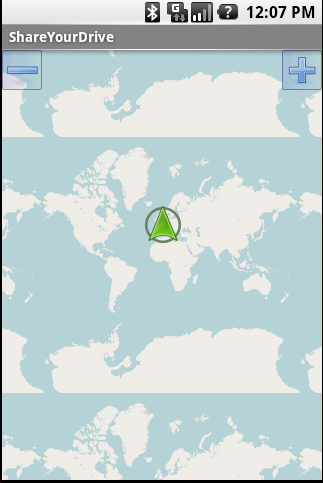
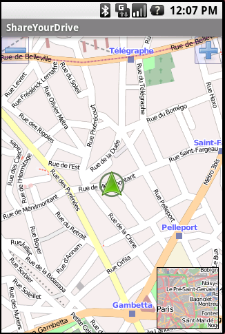
ShareYourDrive Transportation and cars especially are contaminating. Imagine with a few clicks, you can know who can give you a ride. The time real geolocalisation to save environment. Don't be afraid about security. Historic helps to know who was with you, when and where. Moreover you can give a rate to the persons you meet. This note is shown at the time you choose the person you want to ride with
Like it? Share with your friends!
Supported operating systems:
Google Android 1.0, Google Android 1.5, Google Android 1.6, Google Android 10.x, Google Android 2.0, Google Android 2.1, Google Android 2.2, Google Android 2.3, Google Android 3.0, Google Android 3.1, Google Android 3.2, Google Android 4.0, Google Android 4.1, Google Android 4.2, Google Android 4.3, Google Android 4.4, Google Android 5.x, Google Android 6.x, Google Android 7.x, Google Android 8.x, Google Android 9.x
Similar Software:
Vespucci OpenStreetMap Editor Vespucci is the first editor for OpenStreetMap on Android. You can download the map data for a specific area and edit the map. After editing, you can send it directly to the OSM Server.
What's New in This Release:
New features:
· OpenStreetBugs support(disabled by default)
· layers incl
Wi-Fi Map Maker - Free Wi-Fi Map Maker is application makes a map of Wi-Fi access points as you walk around.
· Maps out the actual coverage of each access point!
· Access point names are displayed on the map
· See street address and area of access points
· You can select the criteria for inclusion on your map
MapMakr MapMakr If you’re an aid worker responding to a humanitarian crisis, up to date, accurate, and easy to read maps are vital. Knowing whether a bridge has collapsed, a road is passable and where you can land planes bringing in aid is really important
NavStarter NavStarter is a little app that can be used for the Google Navigation Hack to navigate to an address without first creating a shortcut
CoPilot Live Australia & NZ (Android) CoPilot Live Australia & NZ (Android) - Get a CoPilot! The onboard GPS navigation app that makes every journey better
Bagf Maps This is the first Map Application developed by Bagf, Inc. and in cooperation with Google, Inc. It is a honor for us to work with Google.. Also is it a honor to can share an Application that comes from us and Google! Enjoy!
Walk And Run Keeper Walk And Run Keeper - Lets you measure how far you ran/walked, track your walking distance, speed, time, and calories burned and store a record of your daily workouts to stay fit.
This is the best way to maintain walking schedules. Use this app and measure your walking route and calculate your burned calories per session
Locus - addon AR This is BETA version of simple addon for Locus mapping application (version 1.1.0 and higher). Allow to show actual POI's visible on map, in Augmented reality view. In Locus Free, usage is limited to 1 minute. This addon do not have any screen or widget


")


")