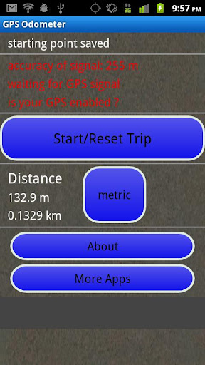
GPS Odometer - A simple and easy to use odometer. There is no maze of menus and no mysterious settings. GPS Odometer only does one thing, and does it well: measure distance traveled.
Note: Intended to measure relatively short distances, the application does not run in the background.
Like it? Share with your friends!
Supported operating systems:
Google Android 1.6, Google Android 10.x, Google Android 2.0, Google Android 2.1, Google Android 2.2, Google Android 2.3, Google Android 3.0, Google Android 3.1, Google Android 3.2, Google Android 4.0, Google Android 4.1, Google Android 4.2, Google Android 4.3, Google Android 4.4, Google Android 5.x, Google Android 6.x, Google Android 7.x, Google Android 8.x, Google Android 9.x
Similar Software:
Navizon for Android Navizon for Android is an on-demand location system based on push-technology. Once it is installed, Navizon will let you track the mobile device's location with a click of a button. This can be especially useful if you lost your phone or if you are trying to locate a friend
TwoNav for Android TwoNav for Android - A dual navigation system (On-Road/Off-Road) to perform most of your outdoor activities (hiking, biking, skiing, geocaching, ...). TwoNav can also guide you when driving. A single solution for all your orientation needs
GPS Info for Android GPS Info for Android is an easy to use and functional GPS application for beginners and advanced users. All needed GPS data is bundled in one screen with perfectly designed layout, with usability in mind
Smart Tools Smart Tools is a complete package of 6 app sets. I
Metosphere (Android) Metosphere Explore and create virtual objects around your physical location like messages, emergency alerts, events, news, reviews, games. View geospatial data from Wikipedia, Eventful, and Upcoming. Start a GeoBlog on your GPS-enabled phone.
This is the core Metosphere Android app
Navitel Navigator Android “Navitel Navigator” is a unique and accurate navigation system. Detailed Russia map. Free traffic jams information service. SPEEDCAMs. The most detailed map of Russia: more than 118 000 cities and towns, 1500 of them contain address search information. The most detailed Moscow and Saint-Petersburg map
Satsports Log Satsports Log is your general sport app. Ideal for running, cycling, mountain biking, hiking and walking. It also has some fun visual features such as maps and graphs of your elevation, speed and pace. Real time Statistics: Satsports-log has all the stats you could wish
TomTom France for Android TomTom France for Android - TomTom France is a turn-by-turn GPS navigator for Android devices. The app includes accurate offline maps, so you can find your way anywhere, even without an internet connection
wheredroid wheredroid is a simple application to display your coordinates from the GPS receiver: latitude, longitude, heading, speed, number of satellites used and (it's its peculiarity) altitude and accuracy. It is quite usable as an altimeter and a compass.
What's New in This Release:
· fixes a bug inverting East with West on some displays
What's New in 1.4
My GPS Coordinates and Location My GPS Coordinates and Location - A simple application with crude, but adequate, support for 40 languages. Allows you to share your position via email, text message, twitter, etc, and displays your current GPS location in both decimal format and in sexagesimal (degrees minutes seconds) format. Internet access is not required to send your location with a text message
Name That Plane Name That Plane - Test your knowledge of aircraft. The app features over 300 aircraft images. Compete with your friends and the world via a global score board provided by Scoreloop.
How score is calculated:
score = (percentage_correct * 10) / sqrt(sqrt(time_in_seconds))
Note that only thinking time is considered
GPS Tape Measure GPS Tape Measure - GPS Tape Measure is a virtual tape measure for your Android device. Perfect for when you want to easily find the distance between two points on earth and you forgot to bring your laser rangefinder. Simple and easy to use

")


")


")

