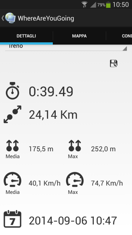
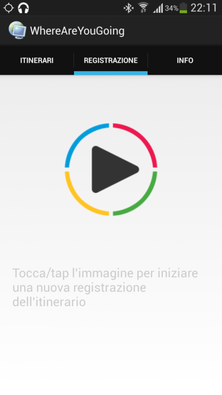
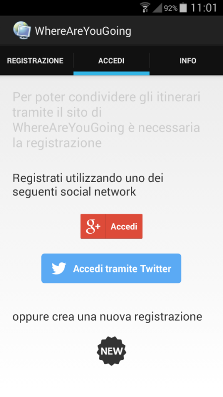
wayg - Create your trip, record your route, share your position. WhereAreYouGoing is able to record position, speed, altitude and time of your routes on your device. WhereAreYouGoing allow to share your route on the most important social network (Google+, Twitter, Facebook...), create file Kml for Google Maps or file GPX (OpenStreetMap). You have just to sign up on this web site: http://goo.gl/3eKJlw . This Gps Tracker allows create the waypoints during the record of the route and view the progress of the speed and height in the graphs. If you have any internet connection you can show in real time your position on Google maps or OpenStreetMap and share with somebody you want. WhereAreYouGoing use GPS satellites on your device to record the routes.
Like it? Share with your friends!
Supported operating systems:
Google Android 3.0, Google Android 3.1, Google Android 3.2, Google Android 4.0, Google Android 4.1, Google Android 4.2, Google Android 4.3, Google Android 4.4
Similar Software:
ParkLeitSystem ParkLeitSystem is a car-park-routing system. It shows you, according to your GPS position, the nearest city with a car-park-routing system and gives you a list with all available car-parkings and shows how many free places there are. With a click on the parking it switches to google maps and shows you the position of the parking
Family Locator Blync Family Locator Blync - Family Locator is the most reliable and accurate family locator & children safety app.
Family Locator app lets your family be in touch and stay connected with your friends anytime
Route Monitor Route Monitor - This application helps you to find the driving route between any start and end location which would have been set by you. It is very simple to use. Just search/select your source / destination location and press the submit button! The route between those two locations will be shown on the map. You can view the route in text format too
MySpeed MySpeed will record your speed and location to a log file and show it on a map.
It can use a database of speed camera locations to alert you when you're near a speed camera.
There is no speed camera database included. You'll need to download the data from a site such as scdb.info, flitspaal.nl, pocketgpsworld.com, maparadar.com, etc
TomTom Iberia for Android TomTom Iberia for Android - TomTom Iberia is a turn-by-turn GPS navigator for Android devices. The app includes accurate offline maps, so you can find your way anywhere, even without an internet connection
Garmin viago for Android Garmin viago for Android - Garmin viago turns your Android smartphone or tablet into a fully featured personal GPS navigator. The app can safely guide you to your destination with clear turn-by-turn directions, lane assistance to help you navigate complex junctions and speed limit indicators to help you avoid getting speeding tickets
CopsAlarm No more tickets Show where the hiding police are on Google Map As well as speed cam,red light locations Lite shows police,red lights only
VGPS (Vietnamese GPS) for Android VGPS was designed to use city street map on your ordinary mobile phone without the need of having GPS receiver or internet connection. VGPS does not require internal or external GPS receiver. However, if you have internal GPS receiver or external bluetooth GPS receiver, VGPS can work with your GPS receiver as well
OsmAnd new OsmAnd new - Another excellent project among navigation devices - the application OsmAnd. It is quite resistant to compete with many well-known companies navigators. It can be used in offline mode. OsmAnd allows you to: - View maps that have been loaded previously from a mobile device or PC. - Identify where the vehicle at the current time


 for Android")

