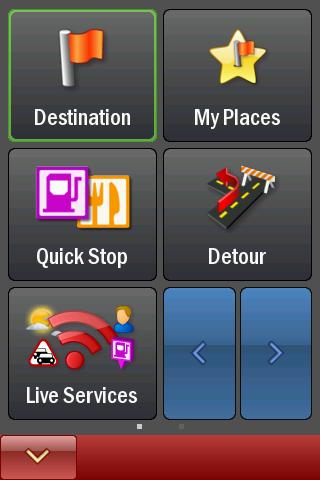
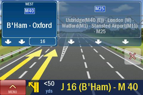
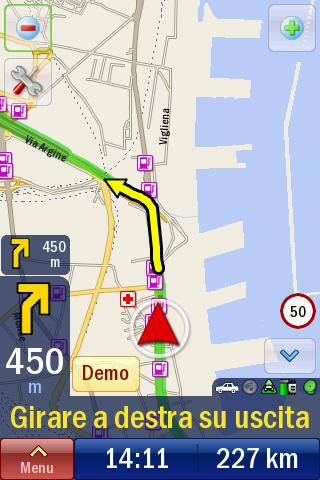
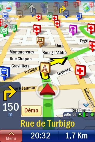
CoPilot Live UK + Ireland (Android) - CoPilot Live is full-featured voice-guided GPS navigation with street maps of 1 European region stored on your Android phone. Includes 3D guidance, lane assist, speed limit warnings, safety camera alerts, planning mode.
Download maps via WiFi after purchase. Unlimited use after 10 days once Google order verified.
What's New in This Release:
· Now fully compatible with Android OS 4.0 (aka Ice Cream Sandwich)
What's New in 8.2.0.904:
· This update brings you a FREE map update. The latest digital street maps provided with our compliments!
What's New in 8.2.0.814:
· Fixes a full Europe map download issue.
What's New in 8.2.0.751:
· This update introduces ActiveTraffic - a major upgrade to our optional Live traffic service. ActiveTraffic uses real-time traffic flow information to calculate the fastest route to your destination. If a delay is detected, CoPilot Live will search for an alternative, faster route.
· Also in this update, Live Local Search is now available as standard in all countries.
What's New in 8.2.0.590:
This build fixes:
· Android OS 1.5 crash on launch
· Android WiFi devices receiving "Invalid IMEI" message
Like it? Share with your friends!
Supported operating systems:
Google Android 1.5, Google Android 1.6, Google Android 10.x, Google Android 2.0, Google Android 2.1, Google Android 2.2, Google Android 2.3, Google Android 3.0, Google Android 3.1, Google Android 3.2, Google Android 4.0, Google Android 4.1, Google Android 4.2, Google Android 4.3, Google Android 4.4, Google Android 5.x, Google Android 6.x, Google Android 7.x, Google Android 8.x, Google Android 9.x
Similar Software:
amAze (Samsung) AmAze is a first of its kind free navigation and local search service. It is free to download and use and it contains wide coverage of maps including aerial photo in Europe, North America, Australia and parts of Asia and Africa
Naver Maps Naver Maps - Smarter than ever! Experience Naver Map for Android. You can find the shortest way to get to your destination, using public transportation even it is far away. You can also search the information on the area around you easily and check whether you are heading to your destination correctly with GPS and compass
zhiing zhiing connects people-to-people, people-to-places and people-to-services with dynamic maps and turn-by-turn driving directions. Forget about map printouts or scribbling down directions....use zhiing! Simply enter the mobile number you want to zhiing and hit send
RouteIt -Travel Maps and Street View RouteIt -Travel Maps and Street View - Are you one of those Street travelers/ Street viewers who never stay in one city or region for long?Or if you are fond of virtual travel around the world, this free app is specially built for your travel guide with Google Glass feature
MAPS.ME for Android MAPS.ME for Android - MapsWithMe allows you to access maps of all the countries in the world while on the go. The maps are based on OpenStreetMap data and work completely offline, without requiring an internet connection
Outdoor Offline Maps for Android Outdoor Offline Maps for Android - The Outdoor Navigation software is your best friend through your adventures in the wild.
Go into the outdoors with confidence and enjoy your activities without worrying about the tools to help you navigate. Your Outdoor Navigation app is made by the people who have been developing this software since 2003 across multiple platforms
AugSatNav Walk AugSatNav is an augmented reality navigation system which overlays walking directions upon a live video feed of the path or road ahead.
With AugSatNav there is no need to follow instructions or interpret maps - you can simply find your way by walking along the route highlighted by a bright white line
Disaster Alert Disaster Alert (by PDC) - Current global disaster info on an interactive map Disaster Alert (by PDC), Active Hazards on an interactive map and in a list as they are occurring around the globe. Additional hazard information can be viewed and shared
Maps.Me: Offline mobile maps Maps.Me: Offline mobile maps - is an application which provides fast access to the maps of all countries and allows you to make best routes without requiring Internet connection
BostonBusMap BostonBusMap is an application for Android phones. It uses GPS data provided by the MBTA to plot the real-time location of buses on a map.
What's New in This Release:
· GPS now turns on when you start the app to allow quicker location lookup times
Other Software by developer «ALK Technologies»:
CoPilot Live Truck HD Europe CoPilot Live Truck HD Europe - Introducing CoPilot Live Truck HD: the first voice-guided satellite navigation iPad app designed specifically for drivers of HGVs, Trucks and vans.
Unlike standard car navigation applications, CoPilot Live Truck takes into account HGV-restricted and prohibited roads to provide safe, reliable navigation
CoPilot Live Premium France (iPhone) CoPilot Live Premium France (iPhone) - CoPilot Live Premium is the essential voice-guided sat navigation app to get you where you need to go, by the way that suits you best.
Detailed street maps of France are stored on-board your iPhone so you don’t need to rely on your mobile connection for navigation or worry about losing directions in coverage dead spots
CoPilot Live UK & Ireland CoPilot Live UK & Ireland - CoPilot Live turns your iPhone into a full-featured in-car sat navigation system. It's complete with premium quality UK and Ireland street maps, full 7 digit UK post codes and turn-by-turn voice directions right to the door
CoPilot Live BeNeLux CoPilot Live BeNeLux - Welcome to CoPilot Live, the award-winning sat navigation app that runs on your iPhone to guide you door to door with complete street maps of Belgium, Netherlands and Luxembourg.
CoPilot Live is the personal travelling assistant who's always at your side, ready to guide you to the door with turn-by-turn voice directions
CoPilot Live Premium Europe HD (iPhone/iPad) CoPilot Live Premium Europe HD (iPhone/iPad) - CoPilot Live Premium HD transforms your 3G iPad into an incredible large-screen in-car sat navigation system.
There's certainly no mistaking the route ahead. CoPilot Live takes full advantage of your iPad's screen to provide easy to follow, crystal clear guidance
CoPilot Live Directions CoPilot Live Directions - Test drive CoPilot Live before you buy.
CoPilot Live Directions gives you a 30 day FREE trial of our full-featured GPS navigation app for iPhone with premium features such as voice-guided, turn-by-turn navigation and 3D map displays throughout the US and Canada
CoPilot Truck HD - USA & Canada CoPilot Truck HD - USA & Canada - Introducing CoPilot Truck HD—the first iPad app that provides full-featured voice-guided GPS navigation designed specifically for professional drivers of trucks
CoPilot Live Premium GPS - USA & Canada CoPilot Live Premium GPS - USA & Canada - Now there’s a better way to navigate.
CoPilot Live Premium is a brand new voice-guided GPS navigation app
CoPilot Live Premium UK + IRE (Android) CoPilot Live Premium UK + IRE (Android) - Now there’s a better way to navigate.
CoPilot Live Premium is the essential voice-guided sat navigation app to get you where you need to go, by the way that suits you best.
Detailed street maps of one single European region (e.g
CoPilot Live Australia & New Zealand CoPilot Live Australia & New Zealand - Welcome to CoPilot Live, the multi-award winning turn-by-turn sat navigation app with complete maps of Australia and New Zealand.
CoPilot Live is your personal travelling assistant, always ready to guide you to the door with voice directions. It can also keep you better informed with useful live information about your route


")
")


")


")


")
