Mango Maps contain a function that can help you to strore the map data you watched.So it can help you to save money.
Like it? Share with your friends!
If you got an error while installing Themes, Software or Games, please, read FAQ.
Supported operating systems:
Windows 10 Mobile, Windows Phone 7, Windows Phone 8
Similar Software:
Wenak Mobisoft Wenak lets you share your location with your friends, family members, co-workers and loved ones by making it easy to tell them where you are and see each other on the map.
Wenak lets you share your location in the background, even when the app is closed
LR Maps LR Maps - This program is the Chinese version of the map program, the layer provided by the Google.Search functions are provided by Google Api and Baidu Api. Main functions are as follows: (1) through the GPS to locate and display the current location (2) Road name search with Chinese input: You can search for example, "Huaihai Road"
You Are Here You are lost and don't have a GPS? Don't worry, this application always shows you where you are, with a precision of 50 centimeters!
Sun Locator Lite Sun Locator Lite - See a map of where the Sun is shining!
Sun Locator Lite displays a map showing the areas of night and day on the Earth. The map displays your current location and gives your current geographic coordinates.
No network coverage is needed to run this app
FidMe FidMe - Toutes vos cartes de fidélité réunies sur votre mobile !
FidMe, le portecarte mobile pour vos cartes de fidélité !
Innovante et simple à utiliser FidMe : enregistrez vos cartes de fidélité en quelques secondes
Bochum Total Diese Anwendung ist eine ubersicht uber alle Acts bei Bochum Total und das Bermuda-Dreieck
Googlemaps Googlemaps - Enjoy Almost all features of Google Maps on your WindowsPhone7
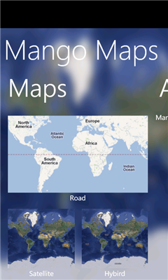
Enjoy The Water-overlay mode, Physical mode, Hybrid mode, Satellite View, Street-View.
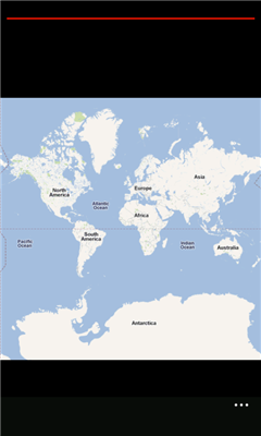
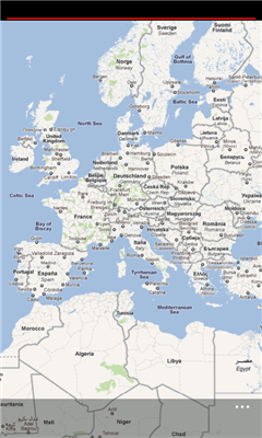
You can zoom in and zoom out without any Hindrance
Other Software by developer «CloudFan»:
MultiTouch Test Pro MultiTouch Test Pro - A Professional MultiTouch Test Tool which can help you to know your performance of touchScreen directly and each point will be marked with number