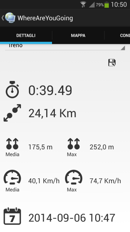
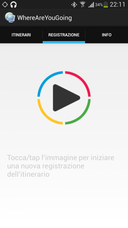
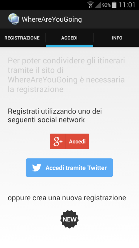
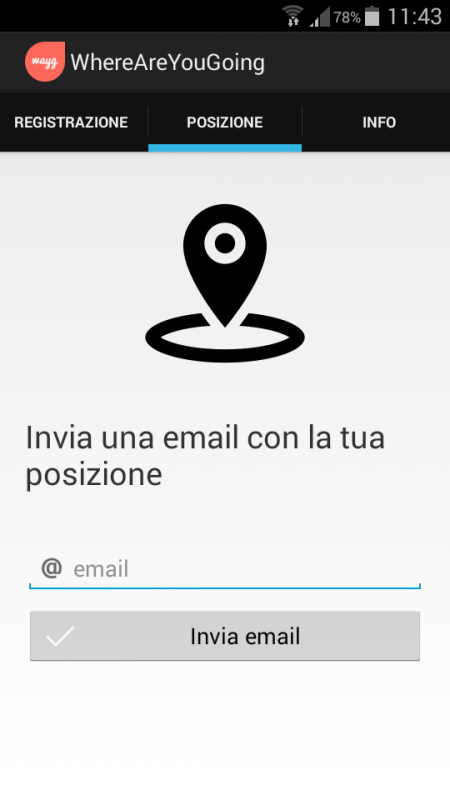
wayg - Create your trip, record your route, share your position. WhereAreYouGoing is able to record position, speed, altitude and time of your routes on your device. WhereAreYouGoing allow to share your route on the most important social network (Google+, Twitter, Facebook...), create file Kml for Google Maps or file GPX (OpenStreetMap). You have just to sign up on this web site: http://goo.gl/3eKJlw . This Gps Tracker allows create the waypoints during the record of the route and view the progress of the speed and height in the graphs. If you have any internet connection you can show in real time your position on Google maps or OpenStreetMap and share with somebody you want. WhereAreYouGoing use GPS satellites on your device to record the routes.
Like it? Share with your friends!
Supported operating systems:
Google Android 3.0, Google Android 3.1, Google Android 3.2, Google Android 4.0, Google Android 4.1, Google Android 4.2, Google Android 4.3, Google Android 4.4
Similar Software:
Red Panic Button (Android) Red Panic Button - When you are in trouble press the Red Panic Button! You just have to set a panic number and the mobile phone will send a sms which contains a link to Google Maps with your fine GPS based or coarse GSM based coordinates.
What's New in This Release:
· New Feedback button!
· QVGA and WVGA screen layout improvements!
What's New in 2
TomTom Australia for Android TomTom Australia for Android - TomTom Australia is a turn-by-turn GPS navigator for Android devices. The app includes accurate offline maps, so you can find your way anywhere, even without an internet connection
SOS App SOS App - This app sends a text message with your GPS position (address from google maps, latitude, longitude and accuracy).The use is simple. You have to choose a contact (with the search button) and then touch the picture
Strava running and cycling GPS Strava - this application is for people who like running, cycling or just spend time outside
TomTom U.K. & Ireland for Android TomTom U.K. & Ireland for Android - The TomTom app lets you enjoy smart turn-by-turn navigation on your Android device. The application includes accurate offline maps, so you can find your way anywhere, even without an internet connection
AugSatNav Walk AugSatNav is an augmented reality navigation system which overlays walking directions upon a live video feed of the path or road ahead.
With AugSatNav there is no need to follow instructions or interpret maps - you can simply find your way by walking along the route highlighted by a bright white line
LocationFinder LocationFinder is a LBS application. Through this application you can search any location in map. Click anywhere in map and you find the area, nearest city and country. Apart from this, user can edit any location for search and can see the location in map
TomTom France for Android TomTom France for Android - TomTom France is a turn-by-turn GPS navigator for Android devices. The app includes accurate offline maps, so you can find your way anywhere, even without an internet connection
Mock locations - Fake GPS path Mock locations - is an application which will help you hide your location. With its help you can set 2 certain points and make your device move between these points.When you will view the covered distance on google maps, it will show you not the place you were for real
My Tracks My Tracks - Use My Tracks while you run, bike, hike, or do anything else outdoors, and it will use the GPS sensor in your Android phone to record the path you took. It will also gather useful statistics such as time, speed, distance, and elevation. You can review all of this data live, or you can save it for use later
Comments on wayg:
Comments not found
If you noted an error or download link is broken, please, report it via this page or use comments.


")


