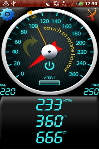
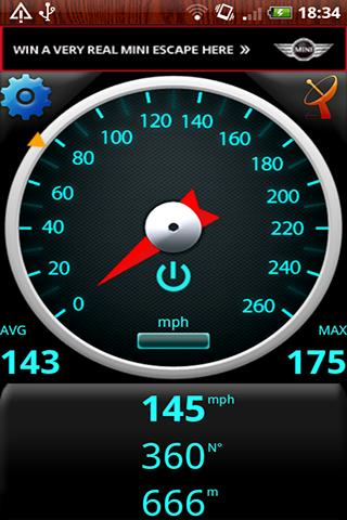
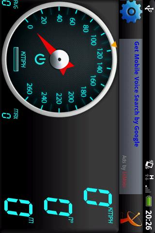
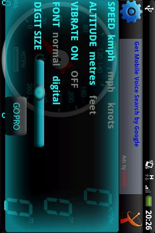
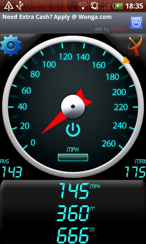
GPS Speedometer - Find out your speed by GPS Speedometer, another one application utilizing Android GPS capabilities.
Like it? Share with your friends!
Supported operating systems:
Google Android 1.0, Google Android 1.5, Google Android 1.6, Google Android 10.x, Google Android 2.0, Google Android 2.1, Google Android 2.2, Google Android 2.3, Google Android 3.0, Google Android 3.1, Google Android 3.2, Google Android 4.0, Google Android 4.1, Google Android 4.2, Google Android 4.3, Google Android 4.4, Google Android 5.x, Google Android 6.x, Google Android 7.x, Google Android 8.x, Google Android 9.x
Similar Software:
GPShake Lite With GPShake you can track your GPS location, create GPX files, whenever you want with a shake of your phone! This means battery life saving! A great usage example could be when you want to geotagging your photo made with an external camera
CoPilot Live Premium Europe (Android) CoPilot Live Premium Europe (Android) - Now there’s a better way to navigate.
CoPilot Live Premium is the essential voice-guided sat navigation app to get you where you need to go, by the way that suits you best
AugSatNav Walk AugSatNav is an augmented reality navigation system which overlays walking directions upon a live video feed of the path or road ahead.
With AugSatNav there is no need to follow instructions or interpret maps - you can simply find your way by walking along the route highlighted by a bright white line
AndNav2 (Android) AndNav2 is a navigation system for Android-powered phones. AndNav2 is based on free mapdata by OpenStreetMap.org. AndNav2 will provide full audible turn-by-turn realtime route-guidance. AndNav2 has unique features, like Text-2-Speech, an accessibility-study (aka 'Where can I get in 30 minutes') or avoiding customizable areas, i.e
Geopaparazzi Geopaparazzi is a tool developed to do fast qualitative technical and scientific surveys. Its strength is its direct connection to the BeeGIS GIS, that can be used to further process the collected data.
Even if the main aim is in the field of surveying, it contains tools that can be of great use also to tourists that want to keep a geo-diary
TomTom Mexico for Android TomTom Mexico for Android - TomTom Mexico is a turn-by-turn GPS navigator for Android devices. The app includes accurate offline maps, so you can find your way anywhere, even without an internet connection
amAze (Samsung) AmAze is a first of its kind free navigation and local search service. It is free to download and use and it contains wide coverage of maps including aerial photo in Europe, North America, Australia and parts of Asia and Africa
Nav4All (Android) With Nav4All you can navigate worldwide on your own mobile phone.
You will never lose your way again and you will always know where you and your friends are located.
You get access to over 1 billion addresses on MyWorld, including Yellow Pages, phonebooks, etc.
While you're on the road you can easily save an interesting location by pressing one button
BeOnMyMap (Android) BeOnMyMap The Android mobile device application for the BeOnMyMap.Com service. BeOnMyMap is a location based socialisation application, consisting of the BeOnMyMap.com website, a mobile website for use on your mobile phone (BeOnMyMap.mobi) and integrated applications for mobile devices
Share Path Share Path - Although e-maps and GPS can provide accurate navigation, we are confined on the basis of the existing database. Many times we may go to a place which cannot be found on the e-map. For example, go to a club with friends; on a vacation to the countryside near the lake where we have never been to
Other Software by developer «Bakhtiyor Khodjayev»:
Mosquito Game (Android) Listen to a mosquito buzzing and when it gets close, swat it by swinging your Android phone
Bonfire (Android) Bonfire brings you warmness of friendly chat at picnic
Froggy Tic-Tac-Toe (Android) Froggy Tic-Tac-Toe - Amphibians, especially frogs and toads, are ecological indicators, and in recent decades there has been a dramatic decline in amphibian populations around the globe. Many species are now threatened or extinct.
This application is a Tic-Tac-Toe game with frogs and minimax algorithm


")
")

")

")


")
")
")

")
")
")
")
")
")
")
")

