Supported operating systems:
Windows Mobile 5.0, Windows Mobile 6 Classic, Windows Mobile 6 Professional, Windows Mobile 6.1 Classic, Windows Mobile 6.1 Professional
Similar Software:
TwitterGPSerer TwitterGPSerer allows you to oAuth update and view Twitter contacts via GPS. You can use the GPS to find your current location and send a tweet and also track your friends via Twitter. The map service is provided by Google.com. The tweet service is provided by Twitter
PoliceGPSings PoliceGPSings - PoliceGPSings can be used by a Police officer to create dated GPS POI based note logs. For each GPS area you can create a log of reports from the area. The program uses the GPS on the PocketPC to find the distance of each GPS POI point and you can view or download the map the points on Google.com map service
VoiceGPSed VoiceGPSed - VoiceGPSed allows you to create and listen to voice files based on your GPS. When you create a new voice file the GPS location is appended to the end of the file. You can explore the wave files via distance of your current GPS.
This program requires that you have both the 'BeanDLL
GPark GParkS - The other day I was at a football game where I had to park on a golf course far from the stadium and ended up wandering around for 20 minutes trying to locate the car afterward
bLADE Locate bLADE Locate - A Fire Eagle client for Windows Mobile
FON Access Points for Poland FON Access Points for Poland - FON offers you a new Points of Interest service (POIs). This allows you to download FONspots directly to your navigation device.
What does that mean? You can download a Points of Interest file directly to your navigation device
TrekBuddy Trekbuddy is a J2ME application to be used with a GPS receiver. It is designed to work with every Java-enabled device. It features capabilities such as: * GPS tracking and simple navigation * bitmap maps (without zoom, you can store bitmap maps with different resolution instead)
VoicePOIer VoicePOIer - VoicePOIer is a full-featured named voice recorder with GPS location tagger. You can make named voice recordings and the GPS location is appended to the end of the file. You can browse the files via GPS distance. Tap on the wave file to play it back.
This program requires that you have both the 'BeanDLL
DocumentGPSs DocumentGPSs - DocumentGPSs can be used to make Pocket Word documents with a GPS tag as the sheet file name. Each time you make a sheet the document it is named the latitude and longitude of your GPS. You can store your files on the storage card. You can also view the Documents with Google maps.
This program requires that you have both the 'BeanDLL
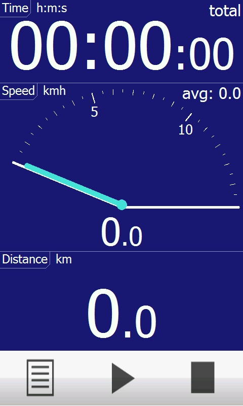
Smart Runner Smart Runner - This application is aimed at people wanting to take up running but who need help sticking to the run/walk system. This system builds up your ability to run for long periods by swtiching between running and walking at regular intervals, e.g. run for 2 minutes. walk for 1 minute
Comments on RunSat:
Comments not found
If you noted an error or download link is broken, please, report it via this page or use comments.
RunSat is compatible with your device HKC G920 (SIM Wacke)
")