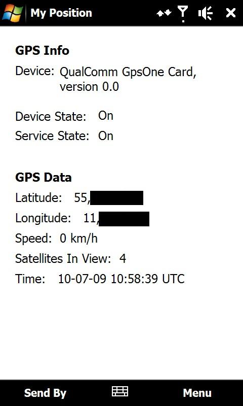
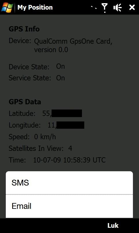
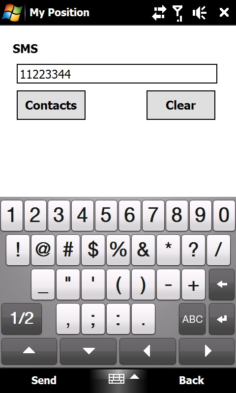
My Position - With My Position it is possible to see actual GPS information via the phone's built in GPS and send the position to others via sms or email.
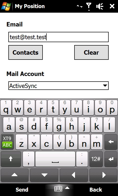
When sending the position via sms or email it is possible to enter a telephone number or email address. It is also possible to select a contact from the contact list.
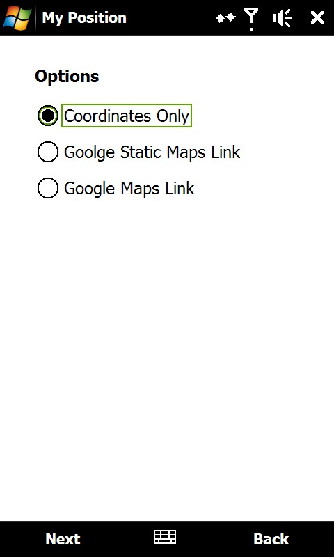
Sending the position is possible in three different ways:
1) As coordinates which can be inserted directly in Google Earth or Google Maps.
2) As a link to Google Static Maps. When the receiver opens the link the phones default web browser connects to the internet and shows the position on a map in 400x400 pixel resolution.
3) As a link to Google Maps. This option is mostly suitable when sending the position via email.
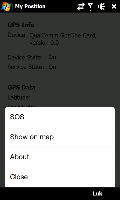
It is also possible to see ones own position on a map where Google Static Map is being used. The phones default web browser will open and connect to the internet and shows the position on a map in 400x400 pixel resolution.
This is a very good function when you are in a big city with many streets.
There is also a sos function which sends the position and a message of help. Again it is possible to send via sms or email.
Like it? Share with your friends!
If you got an error while installing Themes, Software or Games, please, read FAQ.
Supported operating systems:
Windows Mobile 6 Classic, Windows Mobile 6 Professional, Windows Mobile 6.1 Classic, Windows Mobile 6.1 Professional, Windows Mobile 6.5 Professional
Similar Software:
FamilyUpdateds FamilyUpdateds - FamilyUpdateds can be used to get updates from family members using the PocketPC FamilyUpdaterer. You can group the URLs from each person into family groups. Tap on the name to view the current update.
This program requires that you have both the 'BeanDLL.dll' file ** and ** the runtime files for Visual Basic on your PocketPC computer
FON Access Points for Equatorial Guinea FON Access Points for Equatorial Guinea - FON offers you a new Points of Interest service (POIs). This allows you to download FONspots directly to your navigation device.
What does that mean? You can download a Points of Interest file directly to your navigation device
VoicePOIer VoicePOIer - VoicePOIer is a full-featured named voice recorder with GPS location tagger. You can make named voice recordings and the GPS location is appended to the end of the file. You can browse the files via GPS distance. Tap on the wave file to play it back.
This program requires that you have both the 'BeanDLL
TextsGPS TextsGPS - TextsGPS can be used to make text notes with a GPS tag as the text file name. You can store your files on the storage card. You can also view the text entries with Google maps.
This program requires that you have both the 'BeanDLL.dll' file ** and ** the runtime files for Visual Basic on your PocketPC computer
OakLogMobile OakLogMobile - Logger application for your Windows Mobile device. Records GPS and sensor information on your phone.
The log files (*.olg) can later be loaded into TrackView.NET and viewed in all their 3D-glory.
Just copy the .exe-file onto your device manually and run it via the file explorer.
· Logs GPS position, altitude, speed, etc
VoiceGPSeds VoiceGPSeds - VoiceGPSeds is a full-featured voice recorder with GPS location tagger. You can make voice recordings and the GPS location is appended to the end of the file. You can browse the files via GPS distance. Tap on the wave file to play it back.
This program requires that you have both the 'BeanDLL
SMSGPSer SMSGPSer allows you to create SMS contact number '.pgps' links and dial them via GPS distance. Select 'Start GPS' to get a GPS lock and create a new '.pgps' phone number. The program displays the distance between each GPS point and your current GPS. Tap on the link to start the built in SMS composer
SatTracx Mobile Locator SatTracx Mobile Locator helps to know your location or the whereabouts of your family, friends or your assets at anytime.
You can locate your loved ones – your children, elderly or patients at any given moment. You can also find where your buddies are and connect with them
GpsSpot GpsSpot
You don't know where you parked your car anymore? Have you ever wondered how far your are away from home and in what direction it is? GpsSpot from Cradle Software shows you in what direction and how far a previously saved spot is
FON Access Points for Ukraine FON Access Points for Ukraine - FON offers you a new Points of Interest service (POIs). This allows you to download FONspots directly to your navigation device.
What does that mean? You can download a Points of Interest file directly to your navigation device
Other Software by developer «ULJ»:
Backlight Control A small and simple application to control the backlight