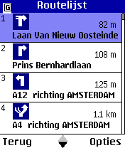
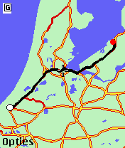
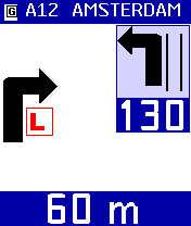
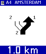
With Nav4All you can navigate worldwide on your own mobile phone.
You will never lose your way again and you will always know where you and your friends are located.
You get access to over 1 billion addresses on MyWorld, including Yellow Pages, phonebooks, etc.
While you're on the road you can easily save an interesting location by pressing one button. Or you can take a picture which will be instantly visible on a map on the Myworld website. Your pictures are visible to you or also to your friends, that's up to you.
Like it? Share with your friends!
Supported operating systems:
Google Android 1.0, Google Android 1.5, Google Android 1.6, Google Android 10.x, Google Android 2.0, Google Android 2.1, Google Android 2.2, Google Android 2.3, Google Android 3.0, Google Android 3.1, Google Android 3.2, Google Android 4.0, Google Android 4.1, Google Android 4.2, Google Android 4.3, Google Android 4.4, Google Android 5.x, Google Android 6.x, Google Android 7.x, Google Android 8.x, Google Android 9.x
Similar Software:
GPS Status GPS Status is an application which displays the information received from the phone's GPS receiver. In addition to the basic location information it can extract and display the state and location of each visible GPS satellite which is displayed on a simple sky view. The outer circle represents the horizon while the center corresponds to the zenith right above your head
Gps Maps Gps with Google Map, live current position. Very simple to use. It is the most easy way to know your exactly coordinates. Only 1.2 KB
runtastic GPS Coach Your personal GPS sports assistant for running, cycling, walking, hiking, ... runtastic GPS is your personal running and fitness application for all outdoor (running, nordic walking, hiking, skating,..) and indoor sports (treadmill, cardio, yoga, bodybuilding)
Mock locations - Fake GPS path Mock locations - is an application which will help you hide your location. With its help you can set 2 certain points and make your device move between these points.When you will view the covered distance on google maps, it will show you not the place you were for real
GPS Tracker GPS Tracker is used to monitor activity of android GPS device and send data to the server
Location Manager Location Manager - This unique location app is best described with the following scenarios:
Scenario 1:
I live in an area where the Oregon, California, and Santa Fe Trails all passed through. There are signs everywhere saying, "The trails crossed here"
yozi yozi is a navigation software for the Android platform. It uses digital topographic maps in well-known Ozi Explorer formats for navigation and doesn't require network access like built-in Maps application on Android
WeWhere - Find Friends WeWhere - Find Friends - This app is a program to check the location of your friends in real time.
** IPhone users can share with.
[How to]
1. Click "Request" in settings menu after logging in.
2. Send request after entering your friend's ID.
3. your request friend : "Accept" menu click and confirm
AlpineQuest Lite AlpineQuest Lite - AlpineQuest turns your Android device into an off-road GPS using offline topo maps. It is a complete solution for all outdoor activities and sports, including hiking, running, trailing, hunting, sailing, geocaching and much more
Nav4All (BlackBerry) Nav4All (BlackBerry) - With Nav4All you can navigate worldwide on your own mobile phone.
You will never lose your way again and you will always know where you and your friends are located.
You get access to over 1 billion addresses on MyWorld, including Yellow Pages, phonebooks, etc
Nav4All (Java) Nav4All (Java) - With Nav4All you can navigate worldwide on your own mobile phone.
You will never lose your way again and you will always know where you and your friends are located.
You get access to over 1 billion addresses on myworld, including Yellow Pages, phonebooks, etc


")
")


")
")