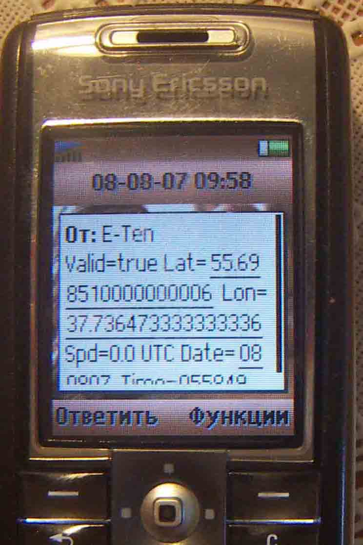
GPSbySMS (Java) - GPSbySMS reads data from the GPS receiver and sends it to the http://gps.ndd.ru site, or to other users using SMS messages. You can see your position on Yahoo Map. Auto send Mode available now.
Tested on: Sony Ericsson K6xx, K7xx, K8xx, W8xx series and Nokia 6151, 6288, 6300i.
Like it? Share with your friends!
Requirements:External Bluetooth or internal GPS receiver (NMEA GPS Message format) and Cellular phone with Bluetooth and Java;
MIDP 2.0 (JSR 118);
CLDC 1.0 (JSR 139);
Java API for Bluetooth (JSR 82);
Wireless Messaging API (JSR 120);
Phone Book Manager API (JSR-75);
Multi Media API (JSR-135)
Supported operating systems:
Java ME, Java Nokia 240x320, Java SE 240x320
FON Access Points for French Guiana FON Access Points for French Guiana - FON offers you a new Points of Interest service (POIs). This allows you to download FONspots directly to your navigation device.
What does that mean? You can download a Points of Interest file directly to your navigation device
Redpin The aim of the Redpin project is to create an open source system that allows indoor positioning up to room-level description using mobile phones
FON Access Points for Macao FON Access Points for Macao - FON offers you a new Points of Interest service (POIs). This allows you to download FONspots directly to your navigation device.
What does that mean? You can download a Points of Interest file directly to your navigation device
TwitterGPS TwitterGPS is a location-aware Twitter client which runs on GPS-enabled devices.
TwitterGPS enables Twitter users to exchange twitter messages (tweets) which contain information about their locations and then view these on maps - either on the phone or on a PC browser.
This Java MIDlet is easy to download, install and use
GpsMid Malta GpsMid is a free, fully offline, vector based map application for your mobile phone. It displays your current position on a zoomable map and can be used to search for and navigate to roads or points of interest of your liking. As all data is stored in a compact binary format on your mobile phone you will incur no charges for extra data downloads
FON Access Points for Holy See (Vatican City State) FON Access Points for Holy See (Vatican City State) - FON offers you a new Points of Interest service (POIs). This allows you to download FONspots directly to your navigation device.
What does that mean? You can download a Points of Interest file directly to your navigation device
FON Access Points for Hungary FON Access Points for Hungary - FON offers you a new Points of Interest service (POIs). This allows you to download FONspots directly to your navigation device.
What does that mean? You can download a Points of Interest file directly to your navigation device
LocViewer LocViewer loads - map sections according to the current position from a Web service from the Internet and indicates the position on the display of the mobile phone. As data source e.g. road maps or satellite photos can be selected. In addition the speed and the moving direction are indicated. The map sections can be panned and zoomed
sms locations This simple application allows you to display locations received by text messages (also called SMS) on a map in one click. Supported applications that can send and display locations are: • All-In-One Offline Maps http://www.offline-maps.net/google-play • AlpineQuest GPS Hiking http://www.alpinequest.net/google-play
Other Software by developer «Astra-Service»:
GPSbySMS GPSbySMS is an application that reads navigation data from GPS and sends it to any user via SMS or email.
Purpose:
1) Read navigation data from GPS and send it to any user via SMS or email.
2) View current position on Maps (need Internet connection).
3) Save navigation data in database using data transfer via GPRS Internet
GPSbySMS (Android) GPSbySMS is an application that reads navigation data from GPS and sends it to any user via SMS or email.
Purpose:
1) Read navigation data from GPS and send it to any user via SMS or email.
2) View current position on Maps (need Internet connection).
3) Save navigation data in database using data transfer via GPRS Internet.
4) Alarm Function
GPSbyGPRS (Pocket PC) GPSbyGPRS is a version of GPSbySMS made for Pocket PCs without GSM module


")
")


")


")
")