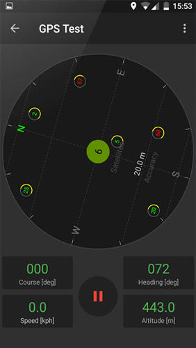
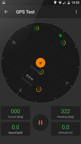
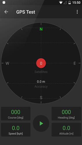
GPS Tools - is an application for calibration of a satellite module of your smartphone. The utility uses a magnetic compass, makes changes to the route, speed and accuracy of the displayed data. As soon as the calibration is completed you can track your location with maximum accuracy.
Game features:
Magnetic compass
Commercial free
Fast calibration
Big number of satellites
Like it? Share with your friends!
Supported operating systems:
Google Android 10.x, Google Android 4.4, Google Android 5.x, Google Android 6.x, Google Android 7.x, Google Android 8.x, Google Android 9.x
Similar Software:
TomTom U.S. & Canada for Android TomTom U.S. & Canada for Android - TomTom U.S. & Canada is a turn-by-turn GPS navigator for Android devices. The app includes accurate offline maps, so you can find your way anywhere, even without an internet connection
2GIS 2 gis - is a useful mobile navigator which allows you to use maps in offline mode after you download data of a certain city. The application will easily help you find the needed address, telephone and working time of organizations and will offer several options regarding the best route
Send My Position Send My Position is an application which shows your current location using GPS and allows you to send the coordinates using SMS as Google Maps links.
· Shows your current location using GPS
· Allows you to send your location coordinates to anyone using SMS
· Google Maps link send using SMS (Android, iPhone..
My Tracks My Tracks - Use My Tracks while you run, bike, hike, or do anything else outdoors, and it will use the GPS sensor in your Android phone to record the path you took. It will also gather useful statistics such as time, speed, distance, and elevation. You can review all of this data live, or you can save it for use later
wheredroid wheredroid is a simple application to display your coordinates from the GPS receiver: latitude, longitude, heading, speed, number of satellites used and (it's its peculiarity) altitude and accuracy. It is quite usable as an altimeter and a compass.
What's New in This Release:
· fixes a bug inverting East with West on some displays
What's New in 1.4
Polaris Navigation System Polaris Navigation System - The Polaris Navigation System is a powerful navigation software for Android. It includes all the standard GPS functionality, including an odometer, altimeter, speedometer and directional compasses.
The app also allows you to record trails and view them on a map
amAze (Samsung) AmAze is a first of its kind free navigation and local search service. It is free to download and use and it contains wide coverage of maps including aerial photo in Europe, North America, Australia and parts of Asia and Africa
InstaMapper (Android) InstaMapper is a free service that allows you to track a person or vehicle online in real time using a GPS-enabled mobile phone.
To use InstaMapper, you create a free account. Registration takes only a minute or two. All it is asked for is a username, password, and a valid email address.
Next, you install a small application on your GPS-enabled phone
BeOnMyMap (Android) BeOnMyMap The Android mobile device application for the BeOnMyMap.Com service. BeOnMyMap is a location based socialisation application, consisting of the BeOnMyMap.com website, a mobile website for use on your mobile phone (BeOnMyMap.mobi) and integrated applications for mobile devices
Comments on GPS Tools:
Comments not found
If you noted an error or download link is broken, please, report it via this page or use comments.
GPS Tools is compatible with your device Lava Z10 TD-LTE Dual SIM


")
")
")