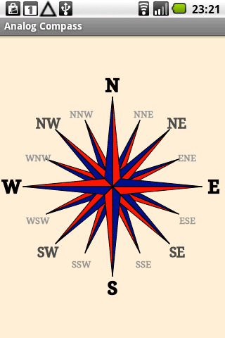
Analog Compass is an Android application that simulates the physical behavior of a real compass. The application is based on the hardware compass of the device.
Like it? Share with your friends!
Supported operating systems:
Google Android 1.0, Google Android 1.5, Google Android 1.6, Google Android 10.x, Google Android 2.0, Google Android 2.1, Google Android 2.2, Google Android 2.3, Google Android 3.0, Google Android 3.1, Google Android 3.2, Google Android 4.0, Google Android 4.1, Google Android 4.2, Google Android 4.3, Google Android 4.4, Google Android 5.x, Google Android 6.x, Google Android 7.x, Google Android 8.x, Google Android 9.x
Similar Software:
Thermometer for Samsung Galaxy S4 Thermometer for Samsung Galaxy S4 - Thermo measures ambient temperature and humidity using Galaxy S4 inbuilt sensors. App supports Fahrenheit and Celcius. Log readings with a description, which can later be used for filtering. The app displays log as a graph too. Share your location and your reading instantly on to Facebook
GPS Map Search Compass & Track An app for all the purpose so what you're waiting for....!!! Yes.... creatiosoft proudly introduced an awesome GPS Toolbox where you can do anything whatever you desired. Lets track all the locations of yourself via GPS where you are expedition
Speedometer Speedometer - GPS speedometer for Android phones.
· Measures: speed, elapsed time, all distance, peak and average speed.
· Acceleration 0-60-100-150 km/h
· The fastest distance(100m, 1/4 mile, 500m and 1km).
· Draws charts for speed and altitude.
· Speed, all distance, peak and average values, compass.
· Speed alerts
My Sensors Ad For those Android smart-phones that have various sensors built-in, this app attempt to access and retrieve values for display. Three common sensors are shown. Light, Temperature, 3-axis Magnetic field
Earth Geo Magnetic Field Calculator 3D Earth Geo Magnetic Field Calculator 3D - Earth Geo Magnetic Calculator 3D used to estimate magnetic field at a given point on Earth, and in particular, to compute the magnetic declination from true north
Elevation and Sea Depth Elevation and Sea Depth displays elevation and/or sea depth in direction of phone.In order to use it properly, hold your phone on flat surface and away from ferrous metal objects and electromagnetic fields
Multi Tool Dragon Multi Tool Application : Is an combination of 14 tools which gives you easy access to the Daily usefull tools on your Finger tip, Multi Tool Comes with
GeoLog GeoLog saves the sensors data (gps, accelerometer, magnetometer data, etc.) of your device to a log file and calculates the coverage of the site. The coverage is a ratio of the track covering area to the area of the site (expressed in percents)
Ncompass A target compass and place management application