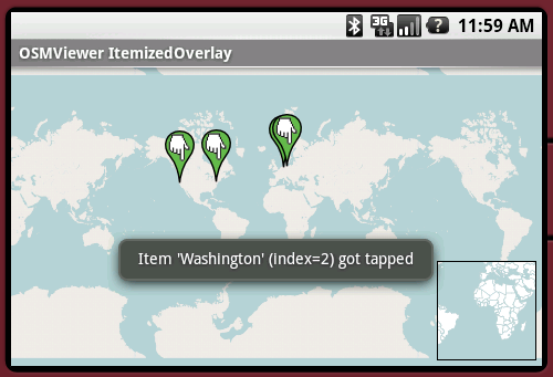
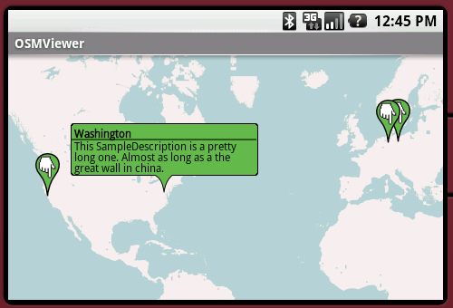
OpenStreetMapViewer provides Tools / Views to interact with OpenStreetMap-Data.
The OpenStreetMapViewer is a (almost) full/free replacement for Android's MapView class.
Like it? Share with your friends!
Supported operating systems:
Google Android 1.0, Google Android 1.5, Google Android 1.6, Google Android 10.x, Google Android 2.0, Google Android 2.1, Google Android 2.2, Google Android 2.3, Google Android 3.0, Google Android 3.1, Google Android 3.2, Google Android 4.0, Google Android 4.1, Google Android 4.2, Google Android 4.3, Google Android 4.4, Google Android 5.x, Google Android 6.x, Google Android 7.x, Google Android 8.x, Google Android 9.x
Similar Software:
Hollywood Star Maps Hollywood Star Maps - Welcome to Hollywood, California - Home of the world''s greatest stars! Search and find famous celebrity homes and locations in Los Angeles, California and make your next sightseeing tour all the more fun by driving yourself to the homes of the stars
Map Navigation Map Navigation - detailed maps of cities and countries. Use this application in any place of the world without Internet connection. All data is updated all the time and boots in no time. You can make marks on the maps and send them via e-mail
ViewRanger GPS ViewRanger is a unique mapping, navigation, tracking, and information tool for mobile phones that provides fully featured outdoor gps and trail navigation through a natural and intuitive display. ViewRanger transforms a Nokia or other Symbian S60 smartphone into a fully featured trail navigation system
Locle Locle is a mobile application that lets users see where their friends and family are without the need for GPS. Wherever you are, always find out where people are and meet them for lunch, drinks or whatever you want to do. Just make sure you don't miss out on anything
Street View on Google Maps Street View on Google Maps - New! Street View smart navigation -- move around by dragging "Pegman" where you want to go. Try Street View on Google Maps to view street-level imagery from your phone. To use Street View, open Google Maps, search for a place or long-press the map, and tap the Street View option
London DK Eyewitness Top 10 Travel Guide & Map (BlackBerry) London DK Eyewitness Top 10 Travel Guide & Map (BlackBerry)- From the top 10 ways to experience Royal London to the top 10 shops, pubs and hotels - this guide features the insider knowledge that every visitor needs, plus London maps and metro maps.
Capture the essence of London, from shopping in Harrods to the Changing of the Guard at Buckingham Palace
Android FindMyCar Android FindMyCar - Innovative software for Android devices that uses the GPS signal to show signs that allow to reach a geographic location.
Suitable for various uses (eg. find car parked in a parking area or in an unknown city, finding a person (who has sent their coordinates) in a lovely beach, in a fair, in another boat, find an area of sea fishing, etc..)
Wi-Fi Map Maker - Free Wi-Fi Map Maker is application makes a map of Wi-Fi access points as you walk around.
· Maps out the actual coverage of each access point!
· Access point names are displayed on the map
· See street address and area of access points
· You can select the criteria for inclusion on your map
Maps In My Pocket (MIMP) Maps In My Pocket - The main goal of this application is to allow its users to view maps, locate themselves, follow KML or GPX formatted tracks and getting directions from place to place.
What's New in This Release:
· New Icon
What's New in 1.4.3:
· Long press and long pinch concurrency on info bubble solved
Other Software by developer «Nicolas Gramlich»:
AndEngine - Examples AndEngine - Examples - AndEngine is a free Open Source 2D OpenGL Game Engine for the Android platform.
This application contains various Examples that showcase what developers can do with this engine.
Install this to stay tuned with the progress.
Join the AndEngine-Community at:
http://www.andengine
AndWeather AndWeather provides a 4 day weather forecast for any location in the world
AndTip AndTip is a Tip-Calculator for Android phones
AndSudoku (Android) AndSudoku is a Sudoku clone for Android-powered phones. The goal is to fill all fields with numbers from 1 to 9 in an order that every row and every column contains each of the numbers only once. Also every 3x3 SubBox may contain every number just once
AndPizza AndPizza is an Pizza/Egg-Timer for Android phones


")


")


")
