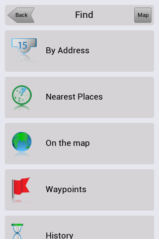
Navitel Navigator for Android - Navitel Navigator is a GPS travel assistant for Android. The app turns your phone into a personal navigation system.
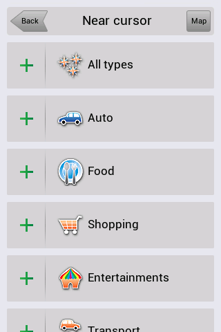
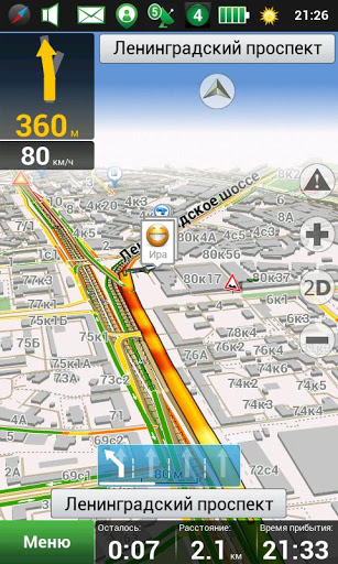
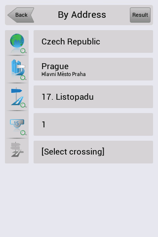
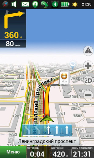
Navitel Navigator comes with detailed maps and other useful features, including traffic jams, speedcams, 3D roads and intersections, instant routing and a comprehensive database with points of interest.
· 30 days trial
What's New in This Release:
· map subscription available;
· vibration of the navigation device in response to use of the keyboard;
· bugs occurring at POI search along the route are fixed;
· traffic jams are rendered quicker in maps.
What's New in 8.0.0.267:
· To Menu - Settings - Navitel.Friends added new option - "Hide irrelevant".
· While installing the minimum values of map detail, buildings are displayed as single-storey.
· Display of textures through the translucent building was fixed.
· Rendering of colors and lighting of 3D models was improved.
· Display of the houses' numbers in 3D mode was fixed.
· Incorrect work of the program on devices Prestigio GeoVision 5500 was fixed.
What's New in 8.0.0.192:
· Option of map scale selection for 3D buildings display was added to the settings.
· As you zoom in more than 3 km, function "Track Up", when following a route, changes to the orientation "North".
· To Menu - My Navitel was added information about version number and size of available update.
· Errors, when drawing some polylines in 3D, were fixed.
· Accuracy of the voice guidance on roundabouts was improved.
· Android 1.5 is no longer supported.
What's New in 8.0.0.0:
· Hardware-accelerated rendering is implemented (OpenGL)
· New 3D maps with number of storeys support and textures
· New 3D models of attractions
· Brand POI
· Traffic jams sensitivity setting
· More detailed description of friends' location on the map is implemented.
· Zoom buttons bugs in "My Route" window were fixed.
· Also other numerous minor fixes, enhancing the stability and reliability of the program, were made
What's New in 7.5.0.2131:
· Automatic SPEEDCAM update from the program menu.
· Personal settings, history, waypoints storing after update installation.
· Dashboard selection on the map while driving on the route.
· Profile switching without having to restart the application.
· Automatic renaming of exported files (routes, waypoints) in order to avoid existing data rewriting.
· Objects naming display is improved during map scrolling.
What's New in 7.5.0.1342:
· Кeyboard for Armenian, Georgian and Azerbaijani languages was added.
· Information of the program's and maps' version was included in menu My Navitel.
· Display of owner's devices on the map attached to the service Navitel.Friends was realized.
· Search by the POI on the route was improved.
What's New in 7.0.0.176:
· View mode and edit mode of "Navitel.Friends" privacy settings are implemented.
· New icons of road infrastructure and weather on the map are added.
· License agreement (Public offer) is updated .
· Multi-touch operation in search result is fixed.
· Bug that caused program hang, during intersections search, was fixed.
· Program zoom is improved on very small and very large scales.
Like it? Share with your friends!
Supported operating systems:
Google Android 1.5, Google Android 1.6, Google Android 10.x, Google Android 2.0, Google Android 2.1, Google Android 2.2, Google Android 2.3, Google Android 3.0, Google Android 3.1, Google Android 3.2, Google Android 4.0, Google Android 4.1, Google Android 4.2, Google Android 4.3, Google Android 4.4, Google Android 5.x, Google Android 6.x, Google Android 7.x, Google Android 8.x, Google Android 9.x
Similar Software:
amAze (LG) AmAze is a first of its kind free navigation and local search service. It is free to download and use and it contains wide coverage of maps including aerial photo in Europe, North America, Australia and parts of Asia and Africa
amAze (Samsung) AmAze is a first of its kind free navigation and local search service. It is free to download and use and it contains wide coverage of maps including aerial photo in Europe, North America, Australia and parts of Asia and Africa
Android Location Android Location is your free, location-aware, mobile social network.
Meet real world friends. Reveal your location, befriend, and chat with people around you.
Using location-based technologies, Android Location lets you see where your friends are and what they are up to, in real time. Meet people around you. Discover who visits your favorite places
AlpineQuest AlpineQuest - AlpineQuest turns your Android device into an off-road GPS using offline topo maps. It is a complete solution for all outdoor activities and sports, including hiking, running, trailing, hunting, sailing, geocaching and much more
ParkLeitSystem ParkLeitSystem is a car-park-routing system. It shows you, according to your GPS position, the nearest city with a car-park-routing system and gives you a list with all available car-parkings and shows how many free places there are. With a click on the parking it switches to google maps and shows you the position of the parking
Mobile Tracker - Offline Mobile Tracker - Offline - mobile tracker offline is a personal application through which you can track UNLIMITED mobile tracking offline. All your track data is available on your device only. So, Don’t need to worry about your personal data lose. It is very simple and useful app that helps you to track your own location date wise
meet-me FREE meet-me With only a few fingertips you can find your friends in the biggest crowd. Their location is presented by a stylish arrow and distance. Awesome: the positions are dynamically updated
CoPilot Live Premium UK + IRE (Android) CoPilot Live Premium UK + IRE (Android) - Now there’s a better way to navigate.
CoPilot Live Premium is the essential voice-guided sat navigation app to get you where you need to go, by the way that suits you best.
Detailed street maps of one single European region (e.g
GPShake Lite With GPShake you can track your GPS location, create GPX files, whenever you want with a shake of your phone! This means battery life saving! A great usage example could be when you want to geotagging your photo made with an external camera
Other Software by developer «Navitel»:
Navitel Navigator (Kazakhstan) for iPhone/iPad Navitel Navigator (Kazakhstan) for iPhone/iPad - Navitel Navigator is a GPS travel assistant for iPhone, iPad and iPod touch. The app turns your phone into a personal navigation system
Navitel Navigator iPhone “Navitel Navigator” is a unique and accurate navigation system. Detailed Russia map. Free traffic jams information service. SPEEDCAMs. The most detailed map of Russia: more than 118 000 cities and towns, 1500 of them contain address search information. The most detailed Moscow and Saint-Petersburg map
Navitel Navigator Symbian “Navitel Navigator” is a unique and accurate navigation system. Detailed Russia map. Free traffic jams information service. SPEEDCAMs. The most detailed map of Russia: more than 118 000 cities and towns, 1500 of them contain address search information. The most detailed Moscow and Saint-Petersburg map
Navitel Navigator Windows Mobile “Navitel Navigator” is a unique and accurate navigation system. Detailed Russia map. Free traffic jams information service. SPEEDCAMs. The most detailed map of Russia: more than 118 000 cities and towns, 1500 of them contain address search information. The most detailed Moscow and Saint-Petersburg map
Navitel Navigator Android “Navitel Navigator” is a unique and accurate navigation system. Detailed Russia map. Free traffic jams information service. SPEEDCAMs. The most detailed map of Russia: more than 118 000 cities and towns, 1500 of them contain address search information. The most detailed Moscow and Saint-Petersburg map
Navitel Navigator (Commonwealth) for iPhone/iPad Navitel Navigator (Commonwealth) for iPhone/iPad - Navitel Navigator is a GPS travel assistant for iPhone, iPad and iPod touch. The app turns your phone into a personal navigation system
Navitel Navigator for Symbian Navitel Navigator for Symbian - Navitel Navigator is a GPS travel assistant for Symbian. The app turns your phone into a personal navigation system.
Navitel Navigator comes with detailed maps and other useful features, including traffic jams, speedcams, 3D roads and intersections, instant routing and a comprehensive database with points of interest
Navitel Navigator for iPhone/iPad Navitel Navigator for iPhone/iPad - Navitel Navigator is a GPS travel assistant for iPhone, iPad and iPod touch. The app turns your mobile device into a personal navigation system
Navitel Navigator for Windows Mobile Navitel Navigator for Windows Mobile - Navitel Navigator is a GPS travel assistant for Windows Mobile. The app turns your phone into a personal navigation system.
Navitel Navigator comes with detailed maps and other useful features, including traffic jams, speedcams, 3D roads and intersections, instant routing and a comprehensive database with points of interest


")

")


")

 for iPhone/iPad")


 for iPhone/iPad")


