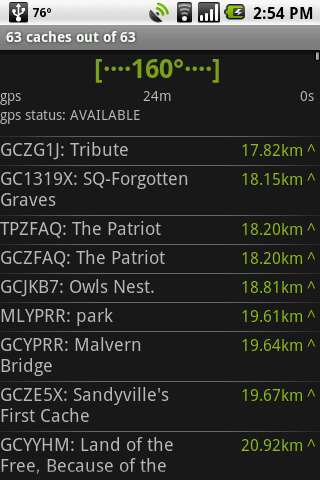
GeoBeagle is a free, open source application for the Android platform to aid users in finding geocaches and letterboxes. It enables the user to do paperless geocaching.
Geocaches and letterboxes are objects that have been hidden in the real world; the game of geocaching/letterboxing is finding these objects around you.
What's New in This Release:
· Fix crash on hc view menu, fix compass jitter, fix sync resume
What's New in 1.4.14:
· Added link on details page to go to web page
What's New in 1.4.12:
· fix for map button on
What's New in 1.4.11:
· fix for pre-HC crash on delete all
What's New in 1.4.10:
· honeycomb, configurable bcaching host
What's New in 1.3.10:
· Fixes for cupcake *and* honeycomb. Another bcaching message fix.
What's New in 1.3.8:
· fix crash leaving radar/compass view
What's New in 1.3.0:
· Fix display on tablet devices. Add summary at the end of sync What's New in 1.2.10:
· parse description in LOC files
Like it? Share with your friends!
Supported operating systems:
Google Android 1.5, Google Android 1.6, Google Android 10.x, Google Android 2.0, Google Android 2.1, Google Android 2.2, Google Android 2.3, Google Android 3.0, Google Android 3.1, Google Android 3.2, Google Android 4.0, Google Android 4.1, Google Android 4.2, Google Android 4.3, Google Android 4.4, Google Android 5.x, Google Android 6.x, Google Android 7.x, Google Android 8.x, Google Android 9.x
Similar Software:
GPS Widget GPS Widget - This widget simply shows your current location in numbers. Latitude and Longitude are received from the GPS location provider or from the network location provider if GPS is not available.
The altitude is queried from open MapQuest API which yields in a more accurate result than receiving the altitude by GPS
amAze (Android) AmAze is a first of its kind free navigation and local search service. It is free to download and use and it contains wide coverage of maps including aerial photo in Europe, North America, Australia and parts of Asia and Africa
2GIS 2 gis - is a useful mobile navigator which allows you to use maps in offline mode after you download data of a certain city. The application will easily help you find the needed address, telephone and working time of organizations and will offer several options regarding the best route
GPS Map Camera use GoogleMap GPS Map Camera use GoogleMap - The main feature of the 'GPS Map Camera':
When you take a piture with GPS enabled, it will paste the google map, address and weather to picture. (GPS latitue/longitude also include in the information)
Please enable your network and GPS function before using this application
GeoPix GeoPix - Headed to work or class? Want your school's mascot or company logo to show up as your wallpaper, "abracadabra" style, just as you arrive? Simply choose an image from Myxer’s massive catalog of wallpapers, or grab one from your phone, set the address- and watch it "auto-magically" appear as you reach your destination
Satsports Log Satsports Log is your general sport app. Ideal for running, cycling, mountain biking, hiking and walking. It also has some fun visual features such as maps and graphs of your elevation, speed and pace. Real time Statistics: Satsports-log has all the stats you could wish
Trip Journal Lite Trip Journal Lite is the ultimate trip tracking, recording, documenting and sharing solution that is currently available for Android phones
Garmin viago for Android Garmin viago for Android - Garmin viago turns your Android smartphone or tablet into a fully featured personal GPS navigator. The app can safely guide you to your destination with clear turn-by-turn directions, lane assistance to help you navigate complex junctions and speed limit indicators to help you avoid getting speeding tickets


")


