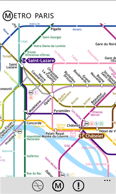
Metro Paris - Simple et efficace, le plan de metro de Paris toujours dans votre poche grace a cette application
Like it? Share with your friends!
If you got an error while installing Themes, Software or Games, please, read FAQ.
Supported operating systems:
Windows 10 Mobile, Windows Phone 7, Windows Phone 8
Similar Software:
amAze (Windows Mobile) AmAze is a first of its kind free navigation and local search service. It is free to download and use and it contains wide coverage of maps including aerial photo in Europe, North America, Australia and parts of Asia and Africa
RideSchedulesCUMTD RideSchedulesCUMTD - The RideSchedules application is a full-featured public transit assistant that includes updatable schedules, countdowns, maps, favorite stops, directions, guides, tracking tools, alarms, announcements, parking meter, vehicle finder, realtime vehicle locations, offline support, and convenient access to transit provider services
Fizz Traveller .Fizz { font-family: Arial; font-size: 8pt; }.style1 { font-family: Arial,Helvetica,sans-serif; color: rgb(51, 51, 51); font-size: 12px; }
Fizz Traveller 3.0 is the next generation of the Award Winning Fizz Traveller program. With Fizz Traveller 3
Map of HongKong for City Advisor Map of HongKong for City Advisor - HongKong MTR map in Traditional Chinese for City Advisor. The stations can be find by Chinese characters and also by the first pinyin letters.
Instructions:
1. Download the map (zip file)
2. Extract the files in /CityAdvisor/maps
3. Open CityAdvisor -> Maps icon -> Menu -> Refresh
4
Map of Toulouse (French) / France for City Advisor Map of Toulouse (French) / France for City Advisor - Toulouse / France map in French for City Advisor. It has 2 metro lines.
1. Download the map (zip file)
2. Extract the files in /CityAdvisor/maps
3. Open CityAdvisor -> Maps icon -> Menu -> Refresh
4
Map of Rhode Island (US State) Map of Rhode Island (US State) - A map of the Rhode Island by VITO Technology. Good for intercity travels with SmartMap.
SmartMap is a mobile device application which uses vector and raster maps. It is compatible with any NMEA protocol GPS receiver (Compact Flash socket, serial port, BlueTooth or sleeve)
gpsVP gpsVP works on virtually any Windows platform including mobile ones. It shows vector and raster maps, records and shows tracks, shows multiple navigation parameters, manages and shows waypoints. It aims to be as usable as possible.
What's New in This Release:
· Geoid correction matrix: Updated values Atlantic & east America's


")
![USA-ID [Idaho] Map for EagleEye PDA Tracking System](https://static.mobyware.org/data/images/def_program_reduced.png "USA-ID [Idaho] Map for EagleEye PDA Tracking System")


 / France for City Advisor")
")
