City Advisor is a Public Transport Navigation Platform for Windows Mobile, providing generic path searching services for cities.
Note: Use the Map Creator to create public transportation maps for use with City Advisor.
· Dynamic depth algorithm
· All graphical, Touch Operation
· Optimized for High-Res screens
· Intelligence Search result
· Map Management
What's New in This Release:
· Rebuilt engines by managed code.
· A Station viewer makes possible to view all transports passed-by and next departures.
· Tourist attractions updated.
· Scrollbars for station selection and map selection
· Tourist site information window, can navigate to an assigned url
· Now you can search with more options simultaneously
· Maps are now in new format, faster and smaller (XMLs are used to edit in MapCreator only)
· Map download - you can now download maps from your phone.
Like it? Share with your friends!
If you got an error while installing Themes, Software or Games, please, read FAQ.
Supported operating systems:
Windows Mobile 2003, Windows Mobile 5.0, Windows Mobile 6 Classic, Windows Mobile 6 Professional, Windows Mobile 6.1 Classic, Windows Mobile 6.1 Professional, Windows Mobile 6.5 Professional
Similar Software:
Google Maps Mobile WM Street View on your phone, as well as business reviews and walking directions
Take the power of Google Maps with you on your mobile phone.
Real-time traffic — See where the congestion is, and estimate delays in over 30 major US metropolitan areas
Locle Locle is a mobile application that lets users see where their friends and family are without the need for GPS. Wherever you are, always find out where people are and meet them for lunch, drinks or whatever you want to do. Just make sure you don't miss out on anything
Map of Oklahoma (US State) Map of Oklahoma (US State) - A map of the Oklahoma by VITO Technology. Good for intercity travels with SmartMap.
SmartMap is a mobile device application which uses vector and raster maps. It is compatible with any NMEA protocol GPS receiver (Compact Flash socket, serial port, BlueTooth or sleeve)
MapKing 2007 Bangalore PPC Map in English MapKing 2007 Bangalore PPC Map in English - MapKing 2007 New Functions: More different profile Compass mode Open Tour book (need to connect to pc to edit) Support VGA monitor Nine intelligent map query (index/Crossing/ Q-find/POI/ position/City/Town/ Lat/Long/Keyword) Customer Support will not be provided for trial version
Travel New York City - illustrated guide and maps. FREE general info and a map in the trial version. Travel New York City - illustrated guide and maps. FREE general info and a map in the trial version. - An illustrated city guide and maps. Indulge Yourself with a personal tour guide on Your PDA. FREE General Information chapter and a map in the trial version.
Features
Fully illustrated.
Landmarks map, Street maps, Subway map, and more
A-Z Birmingham Street Atlas A-Z Birmingham Street Atlas - From the publishers of the world famous A-Z street atlases comes this publication designed for a Windows® Mobile-based Pocket PC (version 2002 or later) and Pocket A-Z Viewer (included)
Map of Oregon (US State) Map of Oregon (US State) - A map of the Oregon by VITO Technology. Good for intercity travels with SmartMap.
SmartMap is a mobile device application which uses vector and raster maps. It is compatible with any NMEA protocol GPS receiver (Compact Flash socket, serial port, BlueTooth or sleeve)
Pocket World Info & Maps 2.1 Menue
Pocket World gives you the whole world in your pocket. At any time, one click will bring you 133 facts from each of 272 countries. Facts such as currency, population growth, life expectancy, inflation rate, rate of exchange, international relations, political personalities, and more
Map of Amiens (French) / France for City Advisor Map of Amiens (French) / France for City Advisor - A map of Amiens' bus transport for City Advisor. Contains line 1 to 11 with full timetable.
Instructions:
1. Download the map (zip file)
2. Extract the files in /CityAdvisor/maps
3. Open CityAdvisor -> Maps icon -> Menu -> Refresh
4
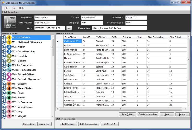
Map Creator for City Advisor Map Creator for City Advisor - Create public transportation maps for use with City Advisor.
What's New in This Release:
· Enable Special TimeTable editing.
· Enable customize peeks.
· Enable CAX format map generation.
· Enable Language-Code Selection for accent insensitive search.
· Accent insensitive station search
PocketMinesweeper Minesweeper for Pocket PC is a FREE minesweeper game which runs on touch screen devices. Minesweeper has a multi-language interface which includes English, French and Chinese (Simplified and Traditional). You have 4 different levels to face. This game is developed on the HTC Diamond devices and tested both on Diamond and Touch Dual
Map of Lyon / France for City Advisor Map of Lyon / France for City Advisor. This map includes: 4 Metro, 4 Tramway, 2 Funiculaire, 1 Rhonexpress and 2 Bus.
Instructions:
1. Download the map (zip file)
2. Extract the files in /CityAdvisor/maps
3. Open CityAdvisor -> Maps icon -> Menu -> Refresh
4
Map of Shanghai (Chinese) / China for City Advisor Map of Shanghai (Chinese) / China for City Advisor - A Chinese version of Shanghai / China Metro map with all updated 10 metro lines. Find station with first letter of pinyin, ex: the keyword of Shanghai Railway Station is hcz.
1. Download the map (zip file)
2. Extract the files in /CityAdvisor/maps
3. Open CityAdvisor -> Maps icon -> Menu -> Refresh
4


")
![USA-ME [Maine] Map for EagleEye PDA Tracking System](https://static.mobyware.org/data/images/def_program_reduced.png "USA-ME [Maine] Map for EagleEye PDA Tracking System")


")

 / France for City Advisor")


 / Belgium (Belgique) for City Advisor")
 / China for City Advisor")