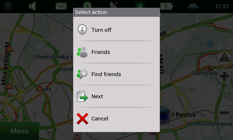
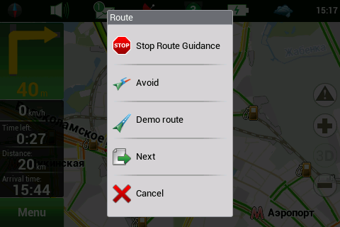
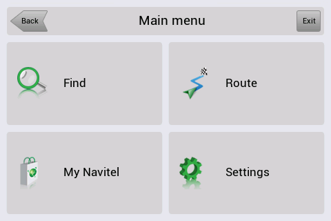
Navitel Navigator for Symbian - Navitel Navigator is a GPS travel assistant for Symbian. The app turns your phone into a personal navigation system.
Navitel Navigator comes with detailed maps and other useful features, including traffic jams, speedcams, 3D roads and intersections, instant routing and a comprehensive database with points of interest.
· 30 days trial
What's New in This Release:
· Button "Jam 1km"
· POI search by route
· Settings profiles
· Navitel.Weather - on your device display
· Map rotation
· Navitel Navigator design is updated
Like it? Share with your friends!
If you got an error while installing Themes, Software or Games, please, read FAQ.
FON Access Points for Jamaica FON Access Points for Jamaica - FON offers you a new Points of Interest service (POIs). This allows you to download FONspots directly to your navigation device.
What does that mean? You can download a Points of Interest file directly to your navigation device
e-Mobile GPS Traffic (Symbian) e-Mobile GPS Traffic (Symbian)
View real-time traffic flow and accident report with both traffic map and aerial map.
Traffic updated automatically to provide you with real-time data. You define the update frequency!
Zoom in/out to the incident spot. Use track wheel to move map around
GPSed GPSed - location-based service for trip tracking from mobile. In real time tracks are traced on Google maps and stored in an online archive. With a simple geotagging feature it is possible to pin photos to a map precisely at a place they were taken
Efficasoft GPS Utilities (S60 3rd Edition) Efficasoft GPS Utilities (S60 3rd Edition) - Digital compass, speedometer with alarm, real-time map navigation... Get GPS Utilities for your Symbian handset and be ready for travelling, hiking, driving, geocaching and more!
· Designed GPS information overview.
· Free image map real-time navigation
FON Access Points for South Korea FON Access Points for South Korea - FON offers you a new Points of Interest service (POIs). This allows you to download FONspots directly to your navigation device.
What does that mean? You can download a Points of Interest file directly to your navigation device
GPS/J GPS/J connects your phone with the GPS receiver through bluetooth interface. It allows you to visualize your current position on a map, keep record of your route and waypoints, gives direction indication - everything on a screen of your phone
FON Access Points for France FON Access Points for France - FON offers you a new Points of Interest service (POIs). This allows you to download FONspots directly to your navigation device.
What does that mean? You can download a Points of Interest file directly to your navigation device
Explorers Tracker Pro Explorers Tracker Pro is designed to support explorers and travelers during a journey and to keep logs with the option to include notes
mScorecard mScorecard is the fastest, easiest and most effective golf scorecard, statistics and GPS software on the market: as quick to use as paper scorecards, but far more effective. It instantly calculates scores, handicaps, side games, stableford points and advanced round statistics for up to five players simultaneously
Loki Mobile Loki Mobile-Loki Mobile allows you to locate yourself and search locally on any WiFi-enabled device.
Loki is the first application in history that automatically uses your exact physical location to harness the power of the Internet
Other Software by developer «Navitel»:
Navitel Navigator (Turkey) for iPhone/iPad Navitel Navigator (Turkey) for iPhone/iPad - Navitel Navigator is a GPS travel assistant for iPhone, iPad and iPod touch. The app turns your phone into a personal navigation system
Navitel Navigator (Ukraine) for iPhone/iPad Navitel Navigator (Ukraine) for iPhone/iPad - Navitel Navigator is a GPS travel assistant for iPhone, iPad and iPod touch. The app turns your phone into a personal navigation system
Navitel Navigator Symbian “Navitel Navigator” is a unique and accurate navigation system. Detailed Russia map. Free traffic jams information service. SPEEDCAMs. The most detailed map of Russia: more than 118 000 cities and towns, 1500 of them contain address search information. The most detailed Moscow and Saint-Petersburg map
Navitel Navigator for Android Navitel Navigator for Android - Navitel Navigator is a GPS travel assistant for Android. The app turns your phone into a personal navigation system.
Navitel Navigator comes with detailed maps and other useful features, including traffic jams, speedcams, 3D roads and intersections, instant routing and a comprehensive database with points of interest
Navitel Navigator (Kazakhstan) for iPhone/iPad Navitel Navigator (Kazakhstan) for iPhone/iPad - Navitel Navigator is a GPS travel assistant for iPhone, iPad and iPod touch. The app turns your phone into a personal navigation system
Navitel Navigator (Russia) for iPhone/iPad Navitel Navigator (Russia) for iPhone/iPad - Navitel Navigator is a GPS travel assistant for iPhone, iPad and iPod touch. The app turns your phone into a personal navigation system
Navitel Navigator for Windows Mobile Navitel Navigator for Windows Mobile - Navitel Navigator is a GPS travel assistant for Windows Mobile. The app turns your phone into a personal navigation system.
Navitel Navigator comes with detailed maps and other useful features, including traffic jams, speedcams, 3D roads and intersections, instant routing and a comprehensive database with points of interest
Navitel Navigator (Eastern Europe) for iPhone/iPad Navitel Navigator (Eastern Europe) for iPhone/iPad - Navitel Navigator is a GPS travel assistant for iPhone, iPad and iPod touch. The app turns your phone into a personal navigation system
Navitel Navigator Windows Mobile “Navitel Navigator” is a unique and accurate navigation system. Detailed Russia map. Free traffic jams information service. SPEEDCAMs. The most detailed map of Russia: more than 118 000 cities and towns, 1500 of them contain address search information. The most detailed Moscow and Saint-Petersburg map


")

")


 for iPhone/iPad")
 for iPhone/iPad")


 for iPhone/iPad")
 for iPhone/iPad")

 for iPhone/iPad")
