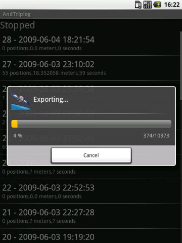
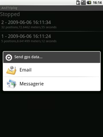
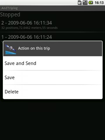
AndTripLog allows you to record your trip onto your device. The application displays the current GPS position, time and speed. You can export the trip by email and store it onto your sdcard in GPX format.
What's New in This Release:
· correct a bug onto gpx export
Like it? Share with your friends!
Supported operating systems:
Google Android 1.0, Google Android 1.5, Google Android 1.6, Google Android 10.x, Google Android 2.0, Google Android 2.1, Google Android 2.2, Google Android 2.3, Google Android 3.0, Google Android 3.1, Google Android 3.2, Google Android 4.0, Google Android 4.1, Google Android 4.2, Google Android 4.3, Google Android 4.4, Google Android 5.x, Google Android 6.x, Google Android 7.x, Google Android 8.x, Google Android 9.x
Similar Software:
Wireless Info Wireless Info - Want to know more of your GPS, Phone, Wifi and Bluetooth facility. This application will display data like wifi freq, signal strength, no of satellites, bluetooth devices in vicinity etc
GPS Odometer GPS Odometer - A simple and easy to use odometer. There is no maze of menus and no mysterious settings. GPS Odometer only does one thing, and does it well: measure distance traveled.
Note: Intended to measure relatively short distances, the application does not run in the background
Back2It Back2It is not just a car locator.
With one click, you may mark places like:
- parking lots
- favorite restaurants
- museums
- theaters
- public park
...
and 1 click to go back with GPS navigation on Google Map.
Switch to Google Map for route
CoPilot Premium Europe (Android) CoPilot Premium Europe (Android) - CoPilot Premium is a powerful GPS navigation solution for Android smartphones and tablets. The app comes with downloadable maps of more than 40 European countries, which can be used offline, allowing you to find your way even when you don't have an internet connection
MySpeed MySpeed will record your speed and location to a log file and show it on a map.
It can use a database of speed camera locations to alert you when you're near a speed camera.
There is no speed camera database included. You'll need to download the data from a site such as scdb.info, flitspaal.nl, pocketgpsworld.com, maparadar.com, etc
AugSatNav Walk AugSatNav is an augmented reality navigation system which overlays walking directions upon a live video feed of the path or road ahead.
With AugSatNav there is no need to follow instructions or interpret maps - you can simply find your way by walking along the route highlighted by a bright white line
BigTinCan Speed Proof Speed Proof logs your current speed, location and so on to a GPX file as fast as the GPS chip updates the system
2GIS 2 gis - is a useful mobile navigator which allows you to use maps in offline mode after you download data of a certain city. The application will easily help you find the needed address, telephone and working time of organizations and will offer several options regarding the best route
Other Software by developer «Jean-Samuel Reynaud»:
not found
Comments on AndTripLog:
Comments not found
If you noted an error or download link is broken, please, report it via this page or use comments.
AndTripLog is compatible with your device Sharp Aquos Sense 3 Plus TD-LTE JP 901SH (Sharp AS3P)

")


")


")
