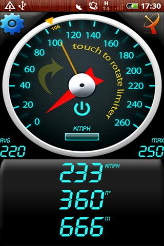
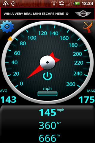
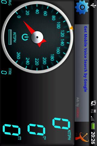
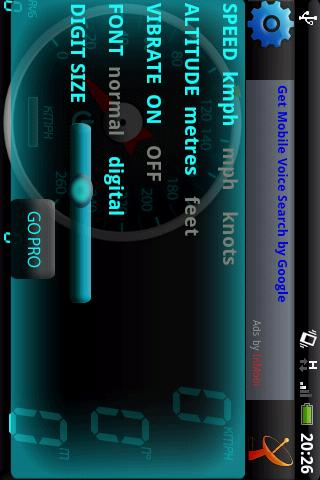
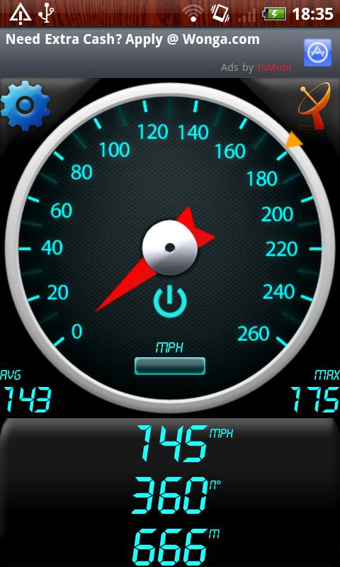
GPS Speedometer - Find out your speed by GPS Speedometer, another one application utilizing Android GPS capabilities.
Like it? Share with your friends!
Supported operating systems:
Google Android 1.0, Google Android 1.5, Google Android 1.6, Google Android 10.x, Google Android 2.0, Google Android 2.1, Google Android 2.2, Google Android 2.3, Google Android 3.0, Google Android 3.1, Google Android 3.2, Google Android 4.0, Google Android 4.1, Google Android 4.2, Google Android 4.3, Google Android 4.4, Google Android 5.x, Google Android 6.x, Google Android 7.x, Google Android 8.x, Google Android 9.x
Similar Software:
RMaps RMaps is a navigation tool. You can use RMaps as an online map viewer for some popular maps. And as an offline map viewer for your own maps created on the PC.
· Auto rotate map in driving direction.
· Auto rotate map in the northern direction.
· Compass on the map.
· Auto-follow function.
· Online search.
· Full screen mode
NAVIGON USA for Android NAVIGON USA for Android - NAVIGON turns your mobile device into a fully featured GPS navigation system. The software provides advanced functionality for both drivers and pedestrians, including 2D and 3D maps, route planner, speed assistant, voice directions, local search, and more.
NAVIGON uses offline maps, so you don't need to worry about data traffic or roaming charges
Phone Tracker Do you want to locate any cell phone right now? Free phone tracking through gps satellite system. Trace any cell phone - whenever wherever!
Place Nearby Place Nearby - This application is all about searching for a desire location on map anytime, anywhere or anyplace.
This application just required a high speed internet connection, Network / GPS enabled device to search for your desire location.
This application will show you the live traffic near by your present location
wayg wayg - Create your trip, record your route, share your position. WhereAreYouGoing is able to record position, speed, altitude and time of your routes on your device. WhereAreYouGoing allow to share your route on the most important social network (Google+, Twitter, Facebook...), create file Kml for Google Maps or file GPX (OpenStreetMap)
Hansel and Gretel Backtracking GPS Hansel and Gretel Backtracking GPS - A simple and highly effective backtracking GPS that does not require a network connection or maps. Hansel and Gretel will remember any location. When it is time to return just follow the arrow or radar image. If only the fairy tale characters had downloaded this app...
From DS Software, the leader in quality mobile navigation tools
I am here I am here - This Android application allows you to share your current location between your friends by sms, e-mail and other communicative programs, which are already installed in your phone.
Also you can send your location to other programs, which can work with text like notes, etc
amAze GPS light edition amAze GPS light edition provides access to worldwide street maps, full topographic map coverage of the USA and satellite imagery for 200 major cities around the world. It allows you to search in a worldwide rich POI database and you can upgrade to the full version that includes turn-by-turn voice guided navigation from within the application
Nöbetçi Eczaneler Ankara Nöbetçi Eczaneler Ankara - Ankara Eczacı Odası'ndan günlük olarak alınan bilgiler doğrultusunda, uygulamamızda ilçenizi seçerek, bölgedeki nöbetçi eczanelerin bilgilerine ulaşabilirsiniz
Other Software by developer «Bakhtiyor Khodjayev»:


")
")


")
")
")
")

")
")
")
")