Intro:
A utility tool with user-friendly interface. With this, you can share location where you are with friends instantaneously.
If you have poor sense of direction or lost directions during travel, the GPS Compass is your best partner! It can help you finding directions to your home at any time!
How to Use:
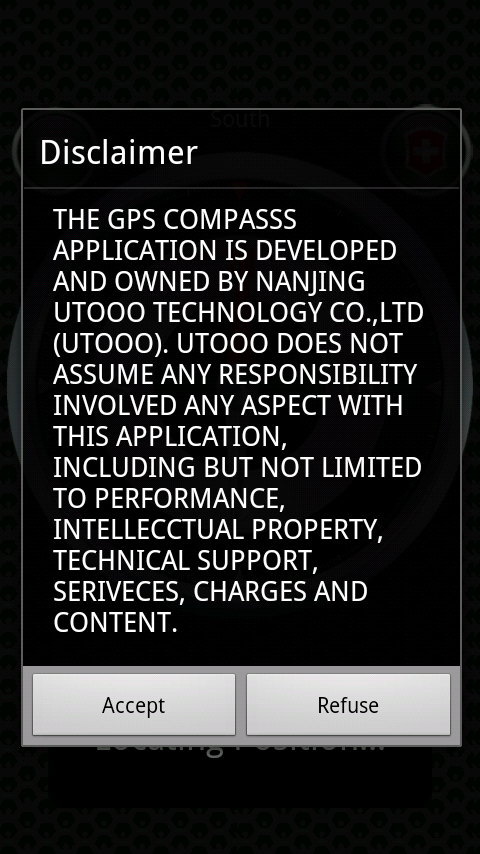
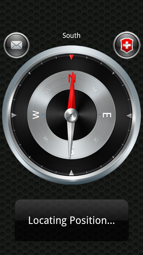
You need to accept the Disclaimer in order to use the software the first time you enter. You can see a compass on the phone screen. The directional data above the compass is the direction of the phone¡¯s top. The area below the compass is used to display position information and the longitude and latitude information.
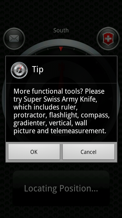
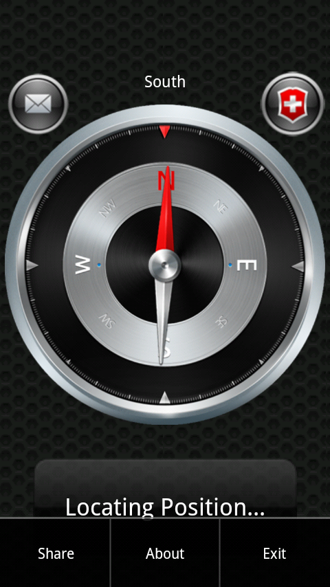
On the upper left of the screen, there is a share button to share with your friends where you are. And on the upper right, there is a button connecting to Super Swiss Army Knife.
Like it? Share with your friends!
Supported operating systems:
Google Android 1.0, Google Android 1.5, Google Android 1.6, Google Android 10.x, Google Android 2.0, Google Android 2.1, Google Android 2.2, Google Android 2.3, Google Android 3.0, Google Android 3.1, Google Android 3.2, Google Android 4.0, Google Android 4.1, Google Android 4.2, Google Android 4.3, Google Android 4.4, Google Android 5.x, Google Android 6.x, Google Android 7.x, Google Android 8.x, Google Android 9.x
Similar Software:
Outdoor Compass for Android Outdoor Compass for Android - The Outdoor Navigation software is your best friend through your adventures in the wild.
Go into the outdoors with confidence and enjoy your activities without worrying about the tools to help you navigate. Your Outdoor Navigation app is made by the people who have been developing this software since 2003 across multiple platforms
Elevation and Sea Depth Elevation and Sea Depth displays elevation and/or sea depth in direction of phone.In order to use it properly, hold your phone on flat surface and away from ferrous metal objects and electromagnetic fields
Marine Compass Marine Compass - A simple marine compass: move your Android phone in all positions, and the compass will always stay parallel to the floor! Just for fun!
Note: Accuracy depends on the hardware, not on the software. This software only displays sensors values
myAltitude See your Altitude, Min and Max Altitudes, Oxygen level and more! Wear Supported!
FillErUp Android application used to record vehicle mileage and calculate mpg
Street Race Street Race - App for timing 1/4 mile runs and 0-60mph sprints. Upload your best timings and compare with results from other drivers.
Speedometer operates off phone GPS service. Accuracy is dependent on your phone and satellite reception.
To do a timing run, touch on of the buttons on the first screen
Talking Compass Talking Compass speaks your current heading and provides haptic feedback as your cross over any of the cardinal directions.
Touch the screen to hear your heading. Stroke the screen up/down to adjust verbosity
GPS Status & Toolbox GPS Status & Toolbox - Be a GEEK: Get the most out of your phone. Raw GPS data at your fingertips.
Display your GPS and sensor data: position and signal strength of satellites, accuracy, speed, acceleration, bearing.
Tools included: compass with magnetic and true north, leveling tool, mark or share your location and navigate back later
eGPS Elevation EGPS Elevation has greatly improved altitude and elevation readings. In a typical Android GPS, altitude readings are notoriously inaccurate. eGPS Elevation will even show how deep is the nearest water area
GeoLog GeoLog saves the sensors data (gps, accelerometer, magnetometer data, etc.) of your device to a log file and calculates the coverage of the site. The coverage is a ratio of the track covering area to the area of the site (expressed in percents)
Other Software by developer «PocketDevelop»:
Super Ruler Free SuperRuler is a totally requisite for your Android Phone! Super Ruler advanced version: The old version of Super Ruler owns several functions like Ruler, Diagonal ruler, Protractor and Distance Measurement)
Android Ruler Android Ruler - Menu info
The new Android Ruler added several functions such as Level Measure, Cross Vertical Measure, Vertical Measure and Distance Measurement.
We afford setting of any screen sizes in the setting menu, so that you can set the screen size and the program can recognize the dpi (dot percent inch ) automatically