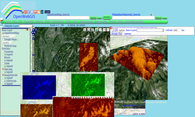
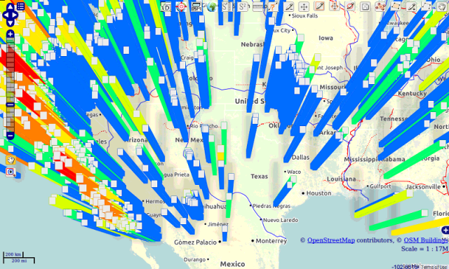
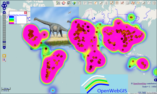
OpenWebGIS - OpenWebGIS is created for everyone who wishes to see and use a new free&open Geographic Information System(GIS). Please make your comments and suggestions. In this GIS you can use the extensive mathematical functionality to calculate and analyze your data. Using OpenWebGIS you will get a GIS at your disposal, it may be similar in functionality to some desktop GIS. Please support this project. The OpenWebGIS for Android has online and local version. In local version, you can use OpenWebGIS without having to connect to the server of OpenWebGIS and even without Internet connection. In local version, some functions do not work, but in future there will be the modification of these functions for the local version. The OpenWebGIS blog (http://openwebgisystem.blogspot.com/) provide a lot of information about possibilities for users' data operating. Full list of articles about OpenWebGIS: http://openwebgisystem.blogspot.com/2015/08/list-of-articles-about-openwebgis-in.html
Like it? Share with your friends!
Supported operating systems:
Google Android 10.x, Google Android 3.0, Google Android 3.1, Google Android 3.2, Google Android 4.0, Google Android 4.1, Google Android 4.2, Google Android 4.3, Google Android 4.4, Google Android 5.x, Google Android 6.x, Google Android 7.x, Google Android 8.x, Google Android 9.x
Similar Software:
Learn Objective C Learn Objective C - This reference has been prepared for the beginners to help them understand the basic to advanced concepts related to Objective-C Programming languages. Objective-C is a general-purpose, object-oriented programming language that adds Smalltalk-style messaging to the C programming language
Learn Apache POI Word Learn Apache POI Word - Learn Apache POI Word provides a basic understanding of Apache POI library and its features. You will learn how to read, write, and manage MS-Word documents using Java programs. This app is designed for the readers working on Java and especially those who want to create, read, write, and modify Word files using Java
Learn Lucene Learn Lucene - Lucene is an open source java based search library. Lucene is very popular and fast search library used in java based application to add document search capability to any kind of application in a very simple and efficient way
Learn Ajax Interview Q A Learn Ajax Interview Q A - Learn AJAX programming with many of AJAX examples here in AJAX Interview Questions and Answers.We are Web Technology Experts Team who provide you Important information on Web Development, Interview Questions and Answers.Ajax is a client-side script that communicates with server without refresh the complete page
Learn Computer Fundamentals Learn Computer Fundamentals - This tutorial has been prepared for the beginners as well as advanced learners who want to deal with computers. This tutorial is also very useful for the undergraduate students of computer science, engineering, business administration, management, science, commerce and arts where an introductory course on computers is a part of curriculum
learn Ember JS learn Ember JS - This tutorial is designed for software programmers who wants to learn the basics of BackboneJS and its programming concepts in simple and easy ways. This tutorial will give you enough understanding on components of EmberJS with suitable examples
Java Interview question Java Interview question - This is a free android app and it have java and HR question.This app have more interview tips
Learn JFreeChart Learn JFreeChart - This tutorial describes various ways to incorporate JFreeChart in Java based standalone and web based applications. It will give you a quick start with JFreeChart and make you comfortable with JFreeChart programming with Java applications
Icon Computer Computer Education, Software Download, Movie Download and lots of fun at the one place
Comments on OpenWebGIS:
Comments not found
If you noted an error or download link is broken, please, report it via this page or use comments.
OpenWebGIS is compatible with your device Tecno Mobile Phantom A+