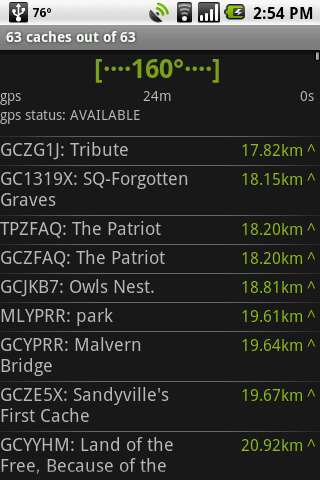
GeoBeagle is a free, open source application for the Android platform to aid users in finding geocaches and letterboxes. It enables the user to do paperless geocaching.
Geocaches and letterboxes are objects that have been hidden in the real world; the game of geocaching/letterboxing is finding these objects around you.
What's New in This Release:
· Fix crash on hc view menu, fix compass jitter, fix sync resume
What's New in 1.4.14:
· Added link on details page to go to web page
What's New in 1.4.12:
· fix for map button on
What's New in 1.4.11:
· fix for pre-HC crash on delete all
What's New in 1.4.10:
· honeycomb, configurable bcaching host
What's New in 1.3.10:
· Fixes for cupcake *and* honeycomb. Another bcaching message fix.
What's New in 1.3.8:
· fix crash leaving radar/compass view
What's New in 1.3.0:
· Fix display on tablet devices. Add summary at the end of sync What's New in 1.2.10:
· parse description in LOC files
Like it? Share with your friends!
Supported operating systems:
Google Android 1.5, Google Android 1.6, Google Android 10.x, Google Android 2.0, Google Android 2.1, Google Android 2.2, Google Android 2.3, Google Android 3.0, Google Android 3.1, Google Android 3.2, Google Android 4.0, Google Android 4.1, Google Android 4.2, Google Android 4.3, Google Android 4.4, Google Android 5.x, Google Android 6.x, Google Android 7.x, Google Android 8.x, Google Android 9.x
Similar Software:
WeWhere - Find Friends WeWhere - Find Friends - This app is a program to check the location of your friends in real time.
** IPhone users can share with.
[How to]
1. Click "Request" in settings menu after logging in.
2. Send request after entering your friend's ID.
3. your request friend : "Accept" menu click and confirm
Run.GPS Trainer UV Run.GPS Trainer is the perfect tool for sports like running, skiing and walking. It uses the Global Positioning System (GPS) to record all of your training parameters like speed, distance and altitude.
Run.GPS Trainer UV is the successor of of the award-winning Run.GPS Trainer software and has tons of new features
amAze (Motorola) AmAze is a first of its kind free navigation and local search service. It is free to download and use and it contains wide coverage of maps including aerial photo in Europe, North America, Australia and parts of Asia and Africa
amAze (LG) AmAze is a first of its kind free navigation and local search service. It is free to download and use and it contains wide coverage of maps including aerial photo in Europe, North America, Australia and parts of Asia and Africa
Maveric Maveric Systems is a leading provider of IT Lifecycle Assurance services across the technology adoption life cycle
Redpin The aim of the Redpin project is to create an open source system that allows indoor positioning up to room-level description using mobile phones
Phone Location Tracker SOS Nearby Places and GPS Phone Location Tracker SOS Nearby Places and GPS - What this app can do for you? SOS Emergency Alert Safety if the most important and paramount requirement for all today. You are worried about your children, spouse, parents and friends. If this app is installed on their mobile phones, your worries are gone for good
MileageLedger (Android) MileageLedger is a GPS powered mileage logging application designed for Android enabled phones. The paid version of MileageLedger generates log files that meet requirements of IRS Publication 463, Section 5 which states:
"You should keep adequate records to prove your expenses or have sufficient evidence that will support your own statement
RMaps RMaps is a navigation tool. You can use RMaps as an online map viewer for some popular maps. And as an offline map viewer for your own maps created on the PC.
· Auto rotate map in driving direction.
· Auto rotate map in the northern direction.
· Compass on the map.
· Auto-follow function.
· Online search.
· Full screen mode
GPS Status GPS Status is an application which displays the information received from the phone's GPS receiver. In addition to the basic location information it can extract and display the state and location of each visible GPS satellite which is displayed on a simple sky view. The outer circle represents the horizon while the center corresponds to the zenith right above your head
Other Software by developer «GeoBeagle Team»:
not found
Comments on GeoBeagle:
Lucas:
Cool
Date: 6 Jun 11
If you noted an error or download link is broken, please, report it via this page or use comments.
GeoBeagle is compatible with your device Zopo Hero 1 Dual SIM LTE


")
")


")

