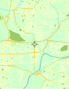
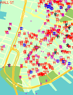
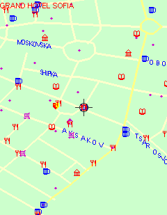
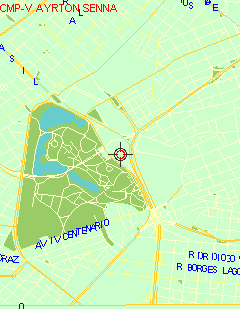
VGPS (Vietnamese GPS) - was designed to use city street map on your ordinary mobile phone without the need of having GPS receiver or internet connection. VGPS does not require internal or external GPS receiver. However, if you have internal GPS receiver or external bluetooth GPS receiver, VGPS can work with your GPS receiver as well. VGPS does not require internet connection so you no need to worry about connection charge.
· Geocaching
· Zoom in/Zoom out/Pan
· Search point name, street name. Can search point by distance as well
· Fully support touch screen
· Can move pointer freely to touch any object on the screen (you can not find this feature elsewhere)
· Auto adjust displaying of street's name according to length and shape of the street
· Display direction arrow on one-way street
· Work with phone's internal GPS or bluetooth GPS receiver (real time tracking movement)
· Manage routes and waypoints within your phone
· Autorouting using A* algorithm to find shortest/fastest route from waypoint start to waypoint end and guide you along the route
· In Car Navigation. When you use real time tracking movement and/or Autorouting function, VGPS will rotate the map so that the facing direction (heading) is always "UP". VGPS also speaks to you when you need to turn left or turn right (voice guidance)
· Support map data from Garmin and OpenStreetMap
What's New in This Release:
· Re-write search string function to search street name/point name faster in huge map that has 2.2 millions of street names and 1 million of point names. VGPS can search for any sub string in street name/point name. Search for sub string or search in string is very intensive operation.
Like it? Share with your friends!
Supported operating systems:
Java ME, Java Nokia 240x320, Java SE 240x320
Similar Software:
FON Access Points for France FON Access Points for France - FON offers you a new Points of Interest service (POIs). This allows you to download FONspots directly to your navigation device.
What does that mean? You can download a Points of Interest file directly to your navigation device
FON Access Points for Ukraine FON Access Points for Ukraine - FON offers you a new Points of Interest service (POIs). This allows you to download FONspots directly to your navigation device.
What does that mean? You can download a Points of Interest file directly to your navigation device
j2me FindMyCar j2me FindMyCar - Innovative software for mobile devices that uses the GPS signal to show signs that allow to reach a geographic location.
Suitable for various uses (eg. find car parked in a parking area or in an unknown city, finding a person (who has sent their coordinates) in a lovely beach, in a fair, in another boat, find an area of sea fishing, etc..)
GpsMid India, South GpsMid India (South) is a free, fully offline, vector based map application for your mobile phone. It displays your current position on a zoomable map and can be used to search for and navigate to roads or points of interest of your liking. As all data is stored in a compact binary format on your mobile phone you will incur no charges for extra data downloads
Cellflare (Java) Cellflare (Java) - Use Cellflare to visually connect with the world around you.
The app uses your phone's GPS system to locate you and your contacts on the move in real time.
Cellflare gives you the ability to locate yourself directly on your phone using a live scalable map
FON Access Points for Poland FON Access Points for Poland - FON offers you a new Points of Interest service (POIs). This allows you to download FONspots directly to your navigation device.
What does that mean? You can download a Points of Interest file directly to your navigation device
eGPSTrack eGPSTrack is a GPS tracking application for mobile devices supporting J2ME connected with a Bluetooth GPS receiver. It isn't a navigator, the purpose is to be a positioning tool to be used in mountain to know where you are in each moment and to store the route that you are doing. Specially used for trekking, hiking and bike routes
CloudGPS CloudGPS is Java ME mapping application using OpenStreetMap data and CloudMade services to provide
GpsMid Australia, Northern Territory - South Australia GpsMid Australia (Northern Territory - South Australia) is a free, fully offline, vector based map application for your mobile phone. It displays your current position on a zoomable map and can be used to search for and navigate to roads or points of interest of your liking
GpsMid Jordan GpsMid is a free, fully offline, vector based map application for your mobile phone. It displays your current position on a zoomable map and can be used to search for and navigate to roads or points of interest of your liking. As all data is stored in a compact binary format on your mobile phone you will incur no charges for extra data downloads
Other Software by developer «Vietnamese GPS»:
VGPS (Vietnamese GPS) for Android VGPS (Vietnamese GPS) for Android was designed to use city street map on your ordinary mobile phone without the need of having GPS receiver or internet connection. VGPS does not require internal or external GPS receiver. However, if you have internal GPS receiver or external bluetooth GPS receiver, VGPS can work with your GPS receiver as well
VGPS (Vietnamese GPS) for Android VGPS was designed to use city street map on your ordinary mobile phone without the need of having GPS receiver or internet connection. VGPS does not require internal or external GPS receiver. However, if you have internal GPS receiver or external bluetooth GPS receiver, VGPS can work with your GPS receiver as well


")
")


")


 for Android")
 for Android")